Hello everyone,
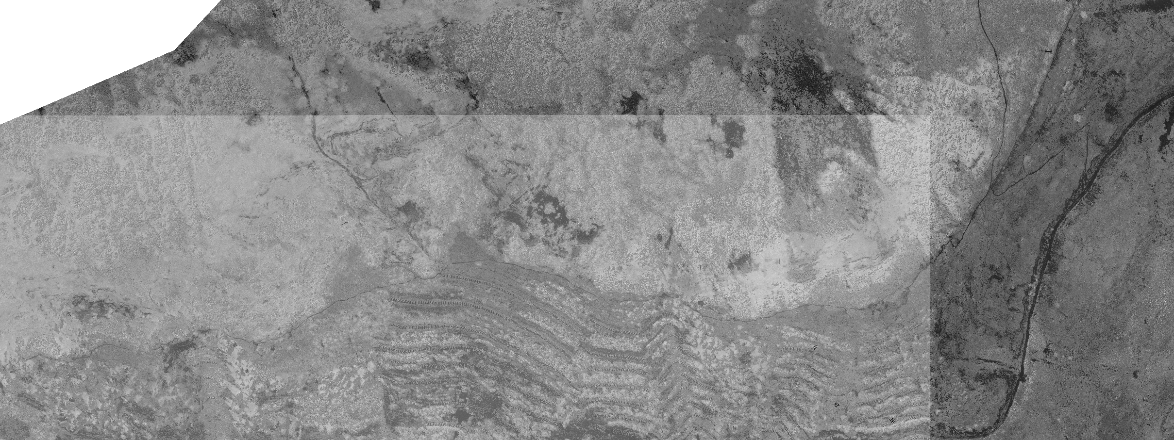
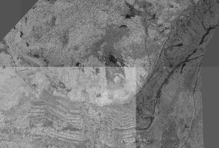
when I create Geotiff file, I can see some pictures with differents appearances, as you can see on the attachment, we can have the feeling that we have a transparency filter.. Whatg do you think about it ? How can I resolve this problem?
I have tested to see my result on different soft (Global Mapper, QGIS) and I have the same render, so it's not a "software bug" but effectively during the process when I create my Geotiff file.
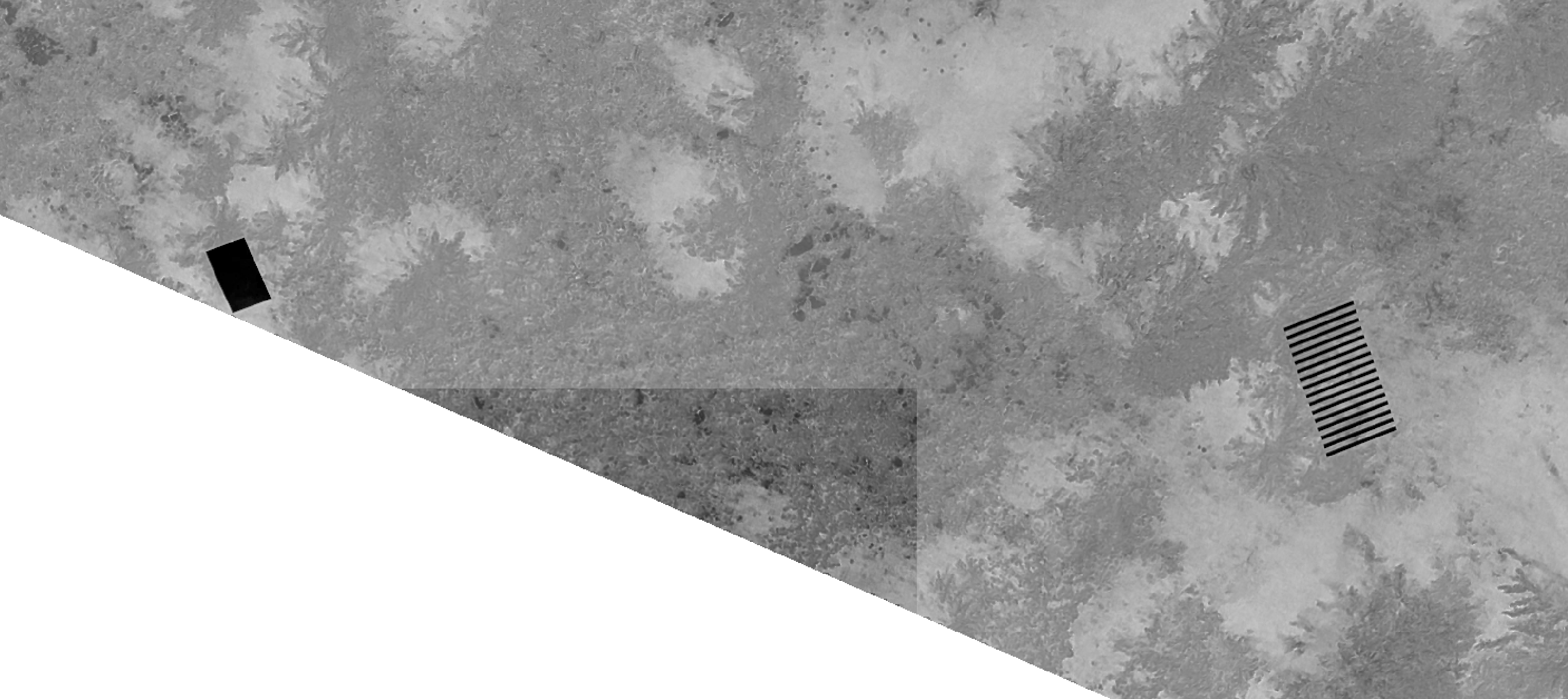
And the second ambiguity, I can see (on second image) something like black clip while in my raw images, I have nothing that seems abnormal to me.
Any help will be appreciated :)


