

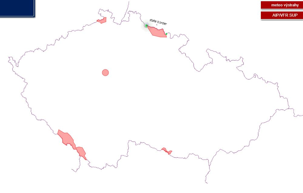
Hi. I would like to ask for advice. I have two types of space. One type of space is a closed polygon inside the state and that is fine. The other space is the polygon, but one side of the polygon boundary is formed by the state boundary. The database does not contain the points (coordinates) that form the state border and an incomplete polygon is created for me - the database contains only the points (coordinates) of the polygon. I have the coordinates of the whole state that makes up my polygon. What with this? I can have two paths. Either mark the starting point of the polygon and the last point of the polygon where the state boundary begins and include these coordinates in some way, or it would be enough for me to insert between these two points the text that the polygon between these two points is defined by the state boundary. The output file is JSON.

Question
Polygon


Login to the community
No account yet? Create an account
An FME Account is required to contribute
LoginEnter your E-mail address. We'll send you an e-mail with instructions to reset your password.