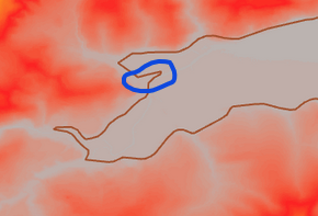
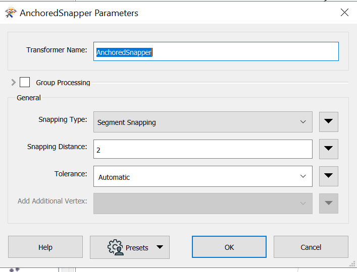
I have a MHWS and along the MHWS line the elevation from the DEM varies. I want to locate the 2metre elevation point relative to the MHWS Line. Could you please suggest an approach that would work to identify this and convert to a line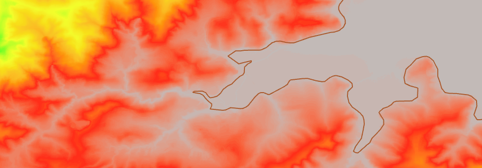

Question
How to add 2 metre elevation offset to Mean High Water Spring


 +9
+9- Contributor