Question

GML conversion not working properly in FME desktop 2019.

  • October 25, 2019
  • 6 replies
  • 36 views

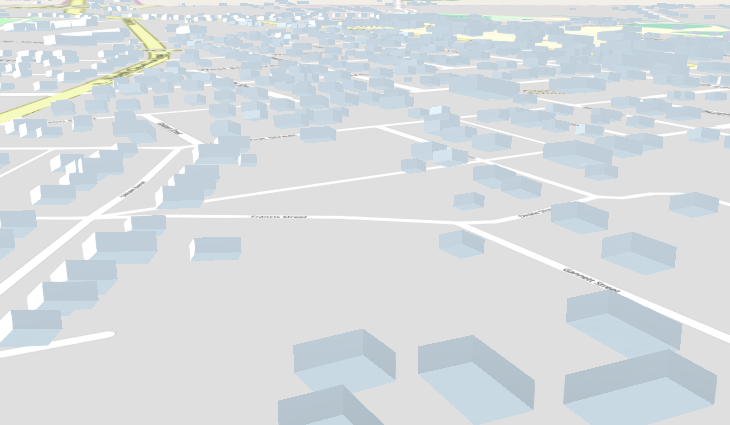
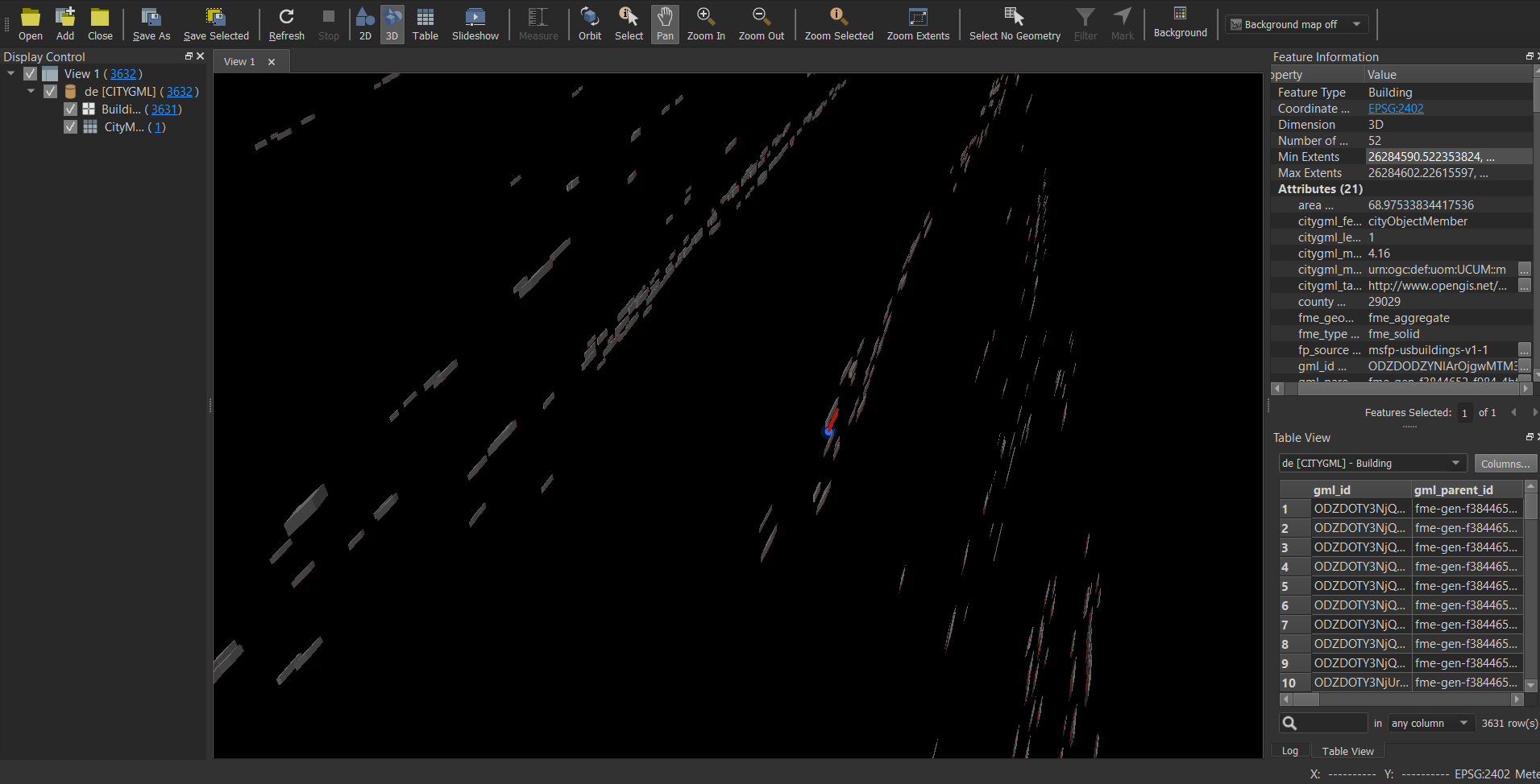
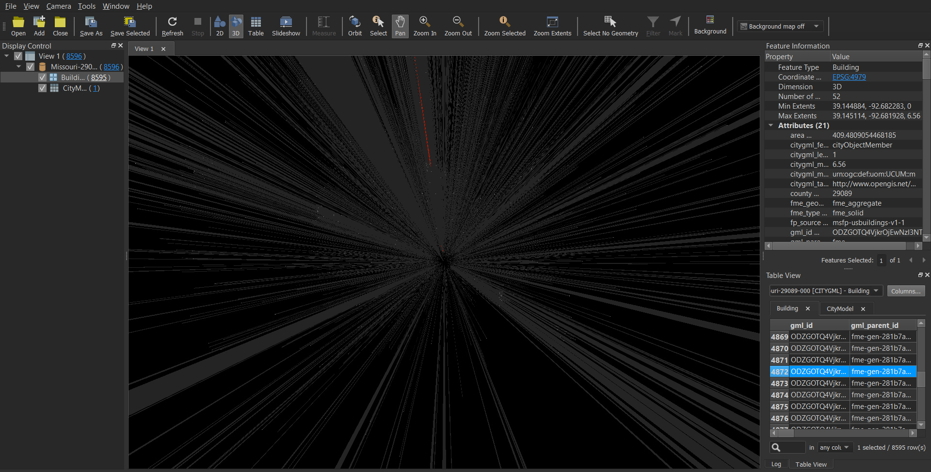
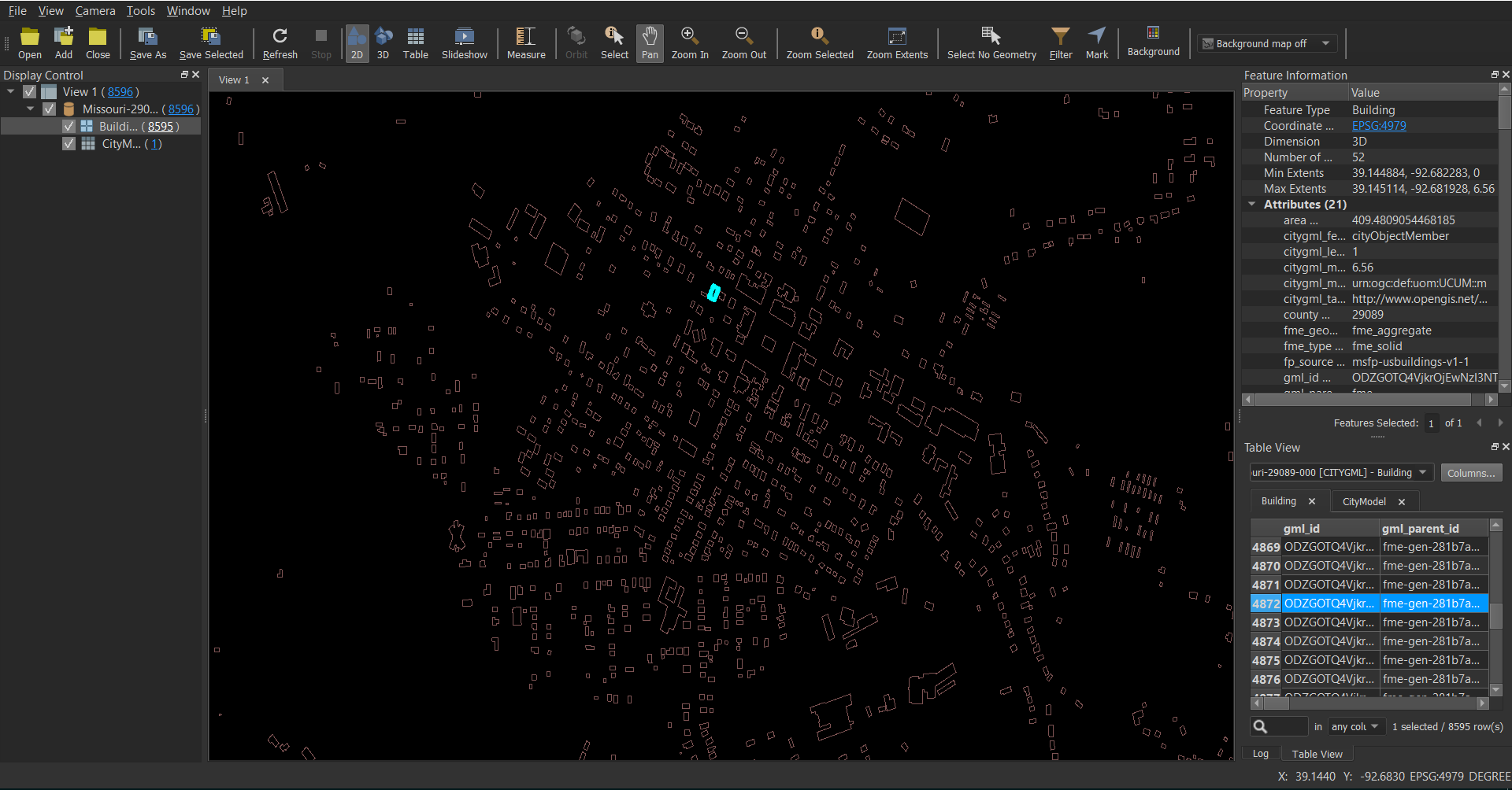
I'm trying to convert a gml file to cesium 3d tiles.I got the output but unable to view the content in cesium.Its zooming to wrong place.I inspected the data in FME data inspector i'm able to view in 2d properly but unable to view in 3d, i'm able to see just lines.

I have attached the screenshots and gml file.What wrong i'm doing.How to resolve this.

This post is closed to further activity.
It may be an old question, an answered question, an implemented idea, or a notification-only post.
Please check post dates before relying on any information in a question or answer.
For follow-up or related questions, please post a new question or idea.
If there is a genuine update to be made, please contact us and request that the post is reopened.

6 replies

redgeographics
Celebrity
Forum|alt.badge.img+61

Your x and y coordinates are in lat/lon so FME is likely interpreting the z values to be in degrees as well, which results in buildings several miles tall. If you reproject it to a non lat/lon coordinate system (I would try the relevant Missouri State Plane) it should hopefully look a lot better.


virtualcitymatt
Celebrity
Forum|alt.badge.img+47

Your data works for me in our cesium application (although the buildings are inside out (See below) - Perhaps the configuration of your Cesium application is not quite right.


  • Author
  • October 28, 2019

Your data works for me in our cesium application (although the buildings are inside out (See below) - Perhaps the configuration of your Cesium application is not quite right.


But how to make them project correctly.I cant even see the buildings in my application.Can u share any workspace to covert this gml


virtualcitymatt
Celebrity
Forum|alt.badge.img+47

But how to make them project correctly.I cant even see the buildings in my application.Can u share any workspace to covert this gml

It was literally reader to writer, no reprojection, they are already projected correctly as far as I can tell. I would suggest you check out the cesium documentation. If you want to save some time and work with a great company who can host your city model for you in cesium check these guys out: https://www.virtualcitycloud.de/en/ - what a cool fun bunch of people ;-)


  • Author
  • October 28, 2019

It was literally reader to writer, no reprojection, they are already projected correctly as far as I can tell. I would suggest you check out the cesium documentation. If you want to save some time and work with a great company who can host your city model for you in cesium check these guys out: https://www.virtualcitycloud.de/en/ - what a cool fun bunch of people ;-)


I have done both kinds of conversions with and without reprojection. But still same thing tileset is not visible. Unable to find the reason. I'm using cesium 1.62 version and latest chrome version.


  • Author
  • October 28, 2019

Your x and y coordinates are in lat/lon so FME is likely interpreting the z values to be in degrees as well, which results in buildings several miles tall. If you reproject it to a non lat/lon coordinate system (I would try the relevant Missouri State Plane) it should hopefully look a lot better.

Thanks for the reply i tried what you have said.I reprojected the gml to missouri state plane.Able to see the 3d view of gml but with some distortion.But still unable to view the tileset in cesium.