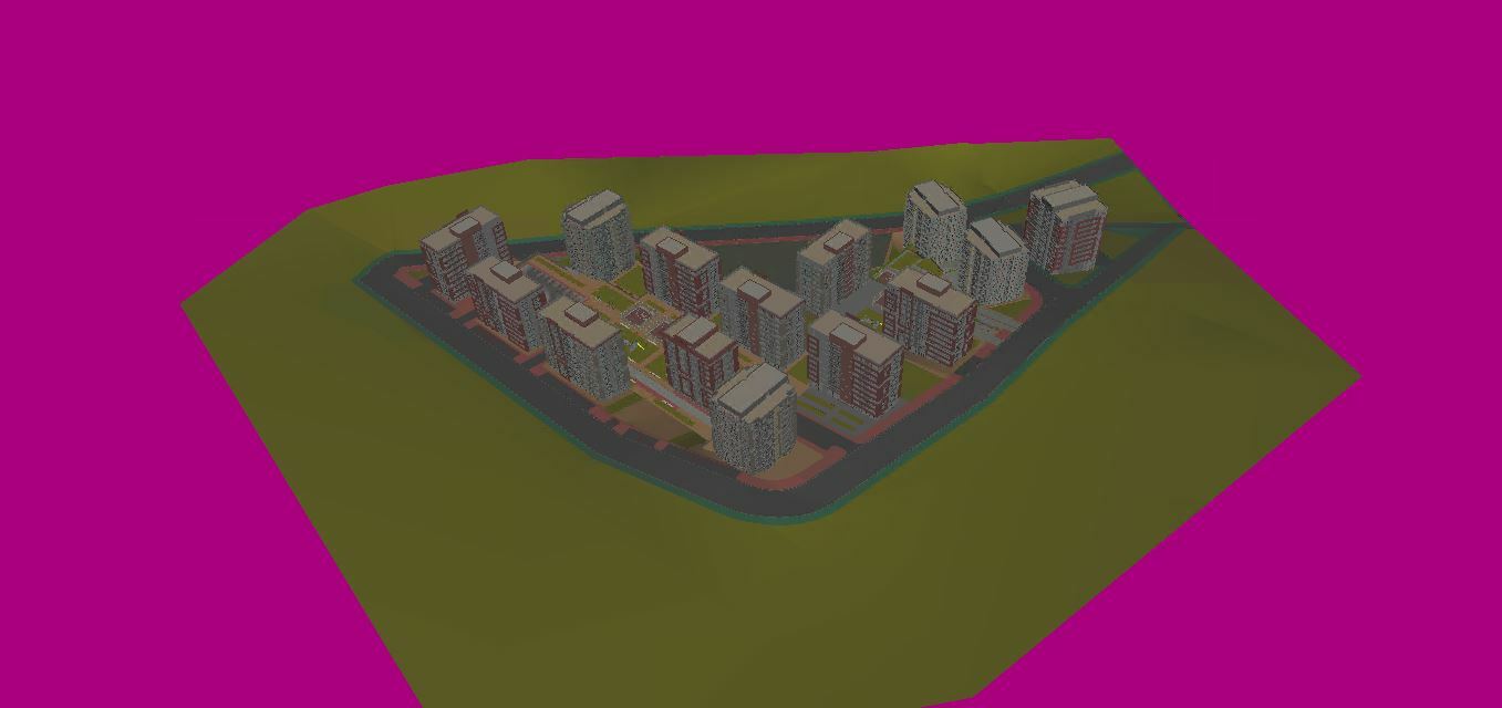
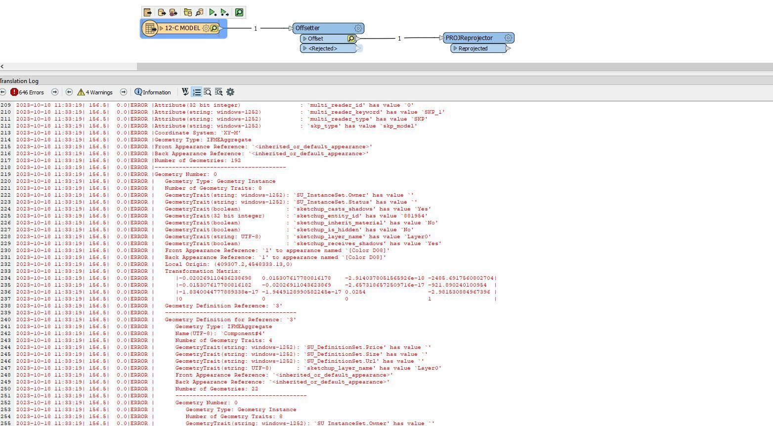
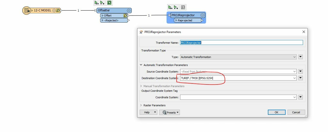
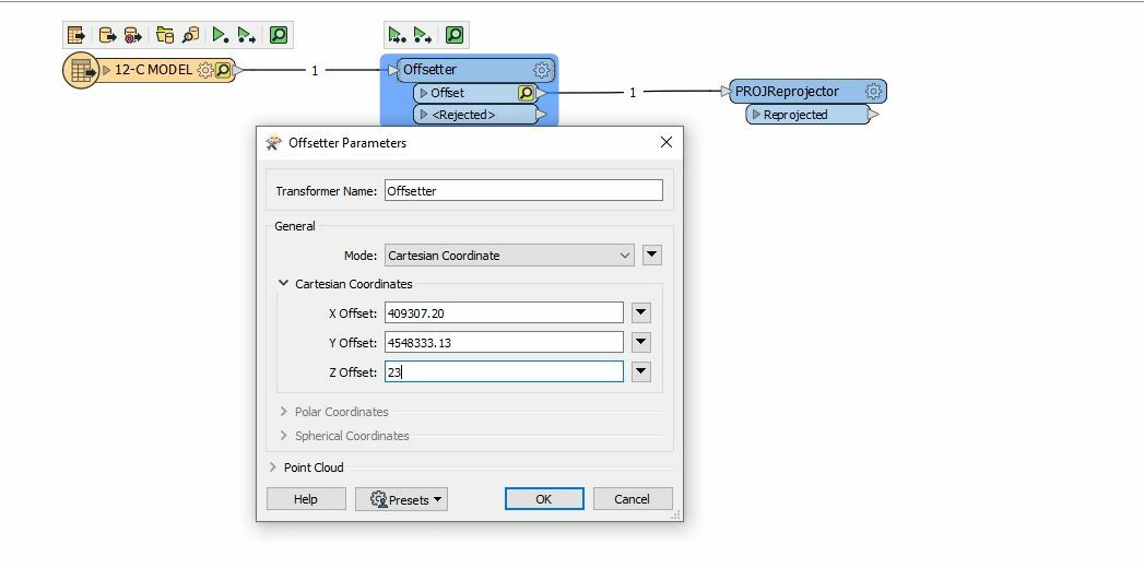
Hello, I have 3D building data in 3ds and sketch formats. These data are not georeferenced. How can I move this data to the real place? I tried offsetter, but it did not work. Can you help me? I will do scal and rotate later.
Can you explain what went wrong? How did you check the result? Did you assign a coordinate system after the offset? What are the drawing units? You probably also have to scale if the drawing units are in bananas or mm.
There are multiple ways to reference data from local to real world coordinates.
Manually
Offsetter
Scaler
Rotator
Semi automatic
Affiner
Calculate coefficients for offset / scale / rotation.
Automatic
AffineWarper
Use from-to lines as input.
Depending on how much models and how complex I would either do this using the Offsetter, Scaler & Rotator or the AffineWarper. If using the Affiner, I Iwould use individual transformers for offset, scale and rotation.
Hello, thank you very much for your return. I get a very long list of errors