
Hello everybody!


some weeks ago I asked for help with our project: calculate the distance to all schools in the city having as input one address. (Server App - calculate shortest route to several schools | Community (safe.com))


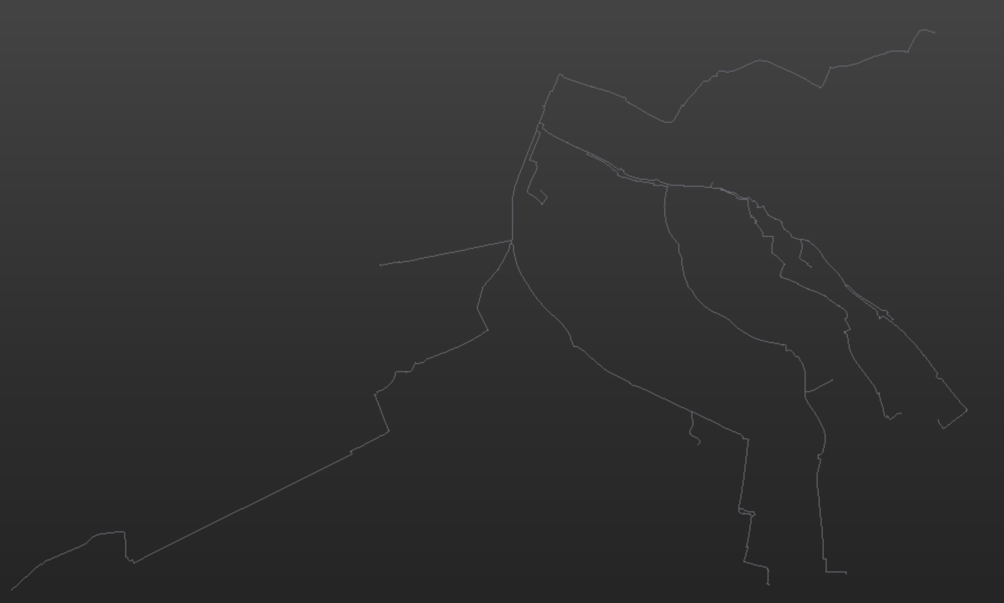
I have done it using FME Desktop (2022.2) and the result looks pretty nice:

In addition I get the shortest paths to each school (each school has more than one entry).

Now I have uploaded the GDB with the streets and the Shapefile with the school entries to the FME Server Ressources.

I have created a server app (workspace) and run the project.

There I receive this error:

2024-9-30 09:01:48 | Unable to perform any licensing related tasks. Please check your Esri ArcGIS Compatibility workspace parameter, found in Navigator -> Workspace Parameters -> Translation. This 64-bit version of FME requires ArcGIS Desktop along with 64-bit Background Geoprocessing; ArcGIS Pro; or ArcGIS Enterprise. Refer to this this article http://fme.ly/qua for more details

  • Why it works locally at my pc and not on the server?
  • Currently I set the start position manually but I want, that the user set the position in the server app. Which possibilitties do I have? How can I configure the parameter to do that? I can imagine a search field where the user can select one address of the GDB or clicking on a Map.


thanks a lot

Manuel

The error is saying that the 64 bit FME Server workflow.needs the 64 bit version of the ESRI Geodatabase API files installed on the same FME Server machine.

This is an FME dependency for the ESRI SDE or GDB Readers/Writers, as these use proprietary ESRI files that rely on ESRI licencing in order to use them. To use these Readers/Writer these must have these ESRI files installed separately using an ESRI installation package of:

  • ArcGIS Desktop 64-bit Background Geoprocessing.  This is not included in standard ArcGIS Desktop 32 bit installation file, and must be installed separately.
  • ArcGIS Pro (as it is 64 bit); or
  • ArcGIS Server

Further resources here:

https://support.safe.com/hc/en-us/articles/25407504096909-Geodatabase-Formats-Missing-Greyed-Out-or-Have-Unmet-Dependencies

Personally I do not use the ESRI File Geodatabase Reader/Writer because of this.  Instead my workspaces default to using the separate ESRI Open API FGDB Reader/Writer which is a separate set of files (with slightly more limited functionality) that ESRI made available to be bundled with other non-ESRI applications.


The reasons described in the article above about FME Desktop and FME Server behaving differently when using these Readers/Writers are usually due to either the FME Server version being 64 bit and FME Desktop version being 32 bit, or the required ESRI 64 bit programs have not been installed on the FME Server machine.


Hi @bwn,

thanks for the answer! So if I change the format for example from GDB to Shapefile, It would solve the problem?

Thanks in advence!


If you want the user to be able to click on a map you can use the Geometry user parameter. Do note that it doesn’t work on Form, you need to publish to Flow in order to test this.


I’ve created something similar for the 2022 UC and recorded a video of it: 


Hi @bwn,

thanks for the answer! So if I change the format for example from GDB to Shapefile, It would solve the problem?

Thanks in advence!

No. Change the File GDB Readers/Writers to the File Geodb Open API if possible.
https://docs.safe.com/fme/html/FME-Form-Documentation/FME-ReadersWriters/filegdb/filegdb.htm


Otherwise, install on the FME Server machine one of the above ESRI ArcGIS 64 bit installations, which is usually a wise thing to do in any case, to provide the option of using the licenced ESRI APIs, including 64-bit SDE Writing.


Reply