Solved

I have been trying to clip two shp files in FME. In ArcPro these two files ovelap perfectly so I am able to clip then exactly as required but in FME they dont overlap when under the same conditions. I need them to overlap to be able to use the clippe


Badge

FME Clip
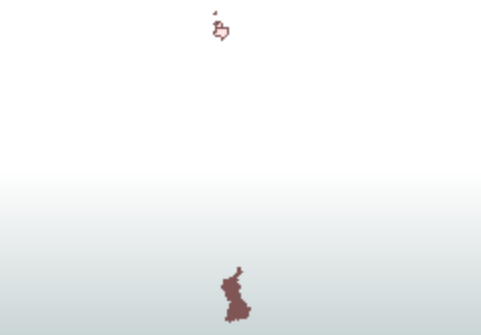
See picture above for more context. I have made sure they are under the same coordinates when impporting them into the process as well as using the coordinate system setter but still no luck in making them overlap in the inspector afterwards.

Im not sure if I am missing something obvious since I am new to FME or whether its an issue with the shp files.


icon

Best answer by redgeographics 19 August 2022, 09:57

View original

4 replies

Userlevel 5
Badge +25

It looks like they're not in the same coordinate system. One important thing to know about FME is that, with the exception of the Data Inspector and Visual Preview when you have a basemap selected, it will not reproject data on the fly for you. It assumes that when you are performing any kind of spatial process on two datasets, such as clipping, that you as the workspace author will have made sure that they are in the same coordinate system.


You mention the CoordinateSystemSetter. This is a useful transformer, but it merely sets the coordinate system, it doesn't actually perform a reprojection (so you would use it when there's no coordinate system specified, or the wrong one, and you know what it should be), for that you need to use the Reprojector transformer (or it's brothers the EsriReprojector, CSmapReprojector or ProjReprojector, they differ in the library of coordinate systems they use)

Badge

It looks like they're not in the same coordinate system. One important thing to know about FME is that, with the exception of the Data Inspector and Visual Preview when you have a basemap selected, it will not reproject data on the fly for you. It assumes that when you are performing any kind of spatial process on two datasets, such as clipping, that you as the workspace author will have made sure that they are in the same coordinate system.


You mention the CoordinateSystemSetter. This is a useful transformer, but it merely sets the coordinate system, it doesn't actually perform a reprojection (so you would use it when there's no coordinate system specified, or the wrong one, and you know what it should be), for that you need to use the Reprojector transformer (or it's brothers the EsriReprojector, CSmapReprojector or ProjReprojector, they differ in the library of coordinate systems they use)

Wow thank you this is perfect, thank you! Out of curiousity is their a tool or a way to view a shp files coordinates system within FME since the ESRIReprojector requires you to know the coordinate system it is currently in?

Userlevel 5
Badge +25

Wow thank you this is perfect, thank you! Out of curiousity is their a tool or a way to view a shp files coordinates system within FME since the ESRIReprojector requires you to know the coordinate system it is currently in?

Yes, you can use the Data Inspector or Visual Preview, select a single feature and then look at the feature information, near the top it should list the coordinate system.


If there is a .prj file with the Shapefile, FME will use that and you can leave the input coordinate system parameter of a Reprojector transformer on 'Read from source'

Badge

Wow thank you this is perfect, thank you! Out of curiousity is their a tool or a way to view a shp files coordinates system within FME since the ESRIReprojector requires you to know the coordinate system it is currently in?

Amazing thank you for the help I got it working!

Reply