
Hello everyone! I'm new FME-User and this is my second month of learning FME. I've been fooling around mainly with maps (TIFF,JP2000) and Lidar.
I'd like to build a 3D-Model from a part of a forest where I add tree.obj for each tree in a raster.
I'm trying to build a tree detector that makes a shapefile of the border of the trees and maybe make a list of the trees in the forest.
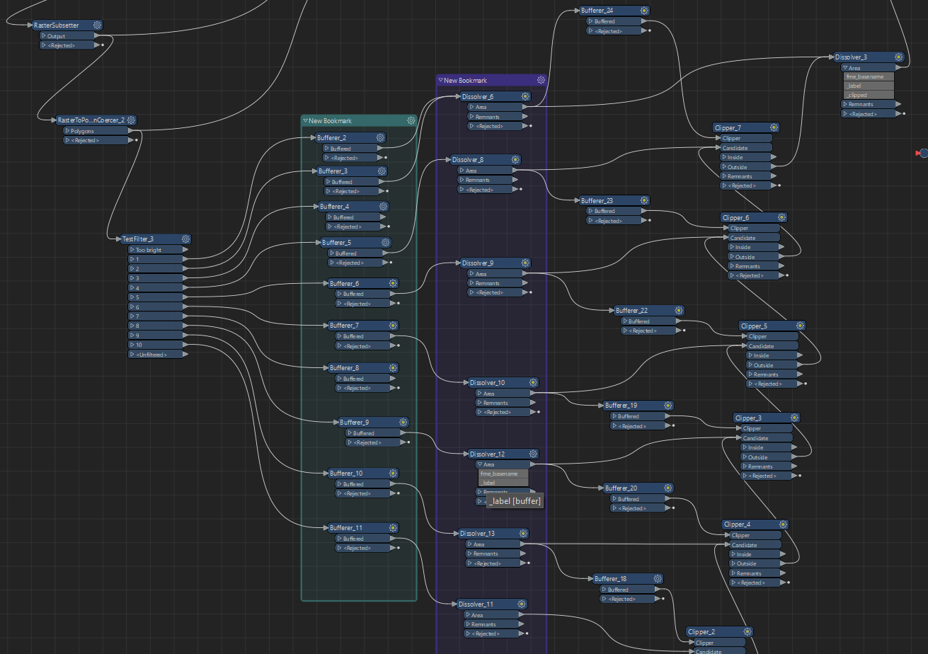
So far I've tried this, this is probably really painful to watch :D.
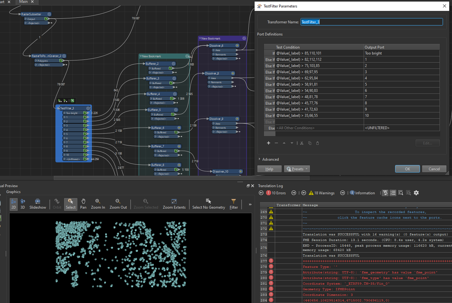
TestFilter that detects brightest parts of the forest(tree tops), then second brightest spots and third brightest etc..
Then I start clipping with buffered detected spots from dark part to the brightest parts and in the end of the clippin' I have really messy tree tops marked on raster..
And this doesn't really solve the original problem at all of making a shapefile for an each tree of the forest :D
So I figured that better approach might be something like this.
Spot the brightest tree tops --> Mark the tree top -->
Then start filling neighbour(s) of that spot with X color/value (IF neighbour < X) -->
Until all neighbour(s) of filled area are > X --> And this will be the border of tree on a shapefile.
Then repeat with the second brightest tree tops and leave the filled area alone. Etc.
So my questions is. Is there a way to use NeighbourFinder and/or other transformers to achieve that?
Best answer by JennaKAtSafe
View original

