I am very new to the FME tool, I downloaded it to change my LAZ files to LAS. I have gone through a few tutorials, and my output is not empty. I have LAS point elevations, but visually it is empty. I have a big reg square, representing the outline of the LAZ tile I downloaded, located in the correct place on earth. There is nothing in the red square. Where do I go from here?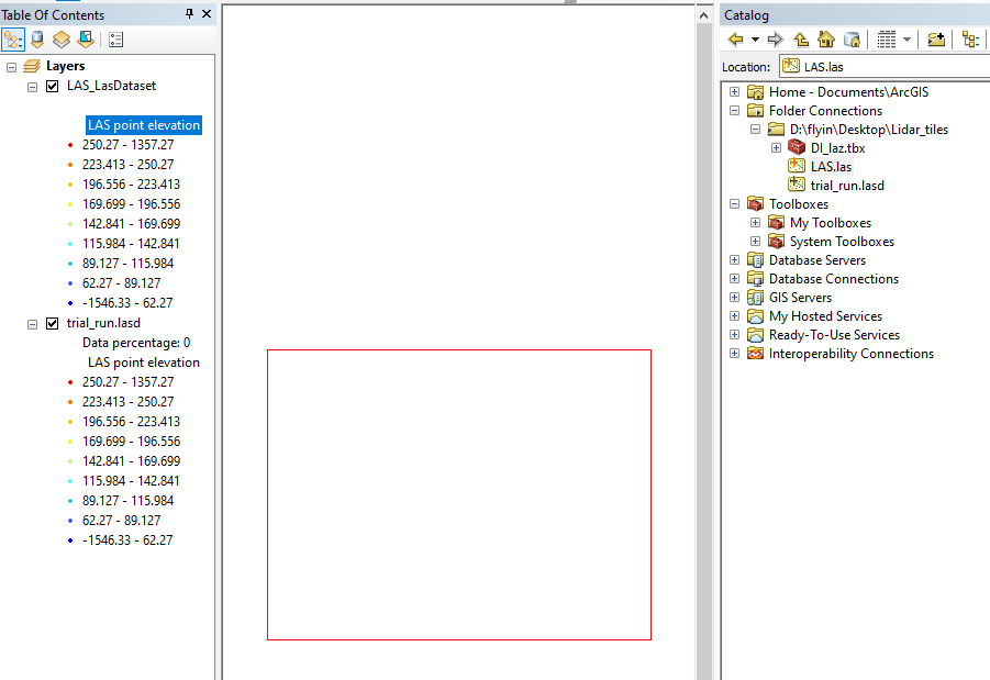

Elevation numbers exist, but output visually empty in ArcMap?

Userlevel 2
 +17
+17
- Contributor
- 7538 replies
-
15 January 2022

Hi @theamai10 , this could be an intended behavior depending on zoom level of ArcMap view. Try zooming out the view.
Besides, I would recommend you to use FME Data Inspector rather than ArcGIS, if you intend to check the dataset. FME Data Inspector gives you more detailed information about the dataset.

 +8
+8
- Safer
- 350 replies
-
15 January 2022

Hi @theamai10
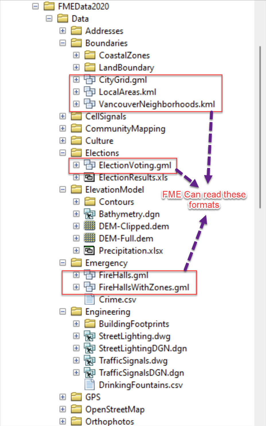
You are correct in thinking that some formats are read by Data Inteorperabiity Extension using Direct Read function but there are certain exceptions to these formats such as Shapefile, DWG, DGN, CSV, Excel, Textfiles, LAS, etc.
The easier way to check this would be icons, all Data Interoperability enabled formats should have the icons in Catalog views as shown below
Reply
Enter your username or e-mail address. We'll send you an e-mail with instructions to reset your password.