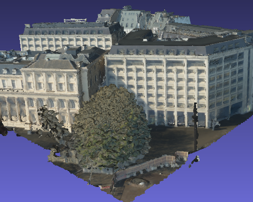
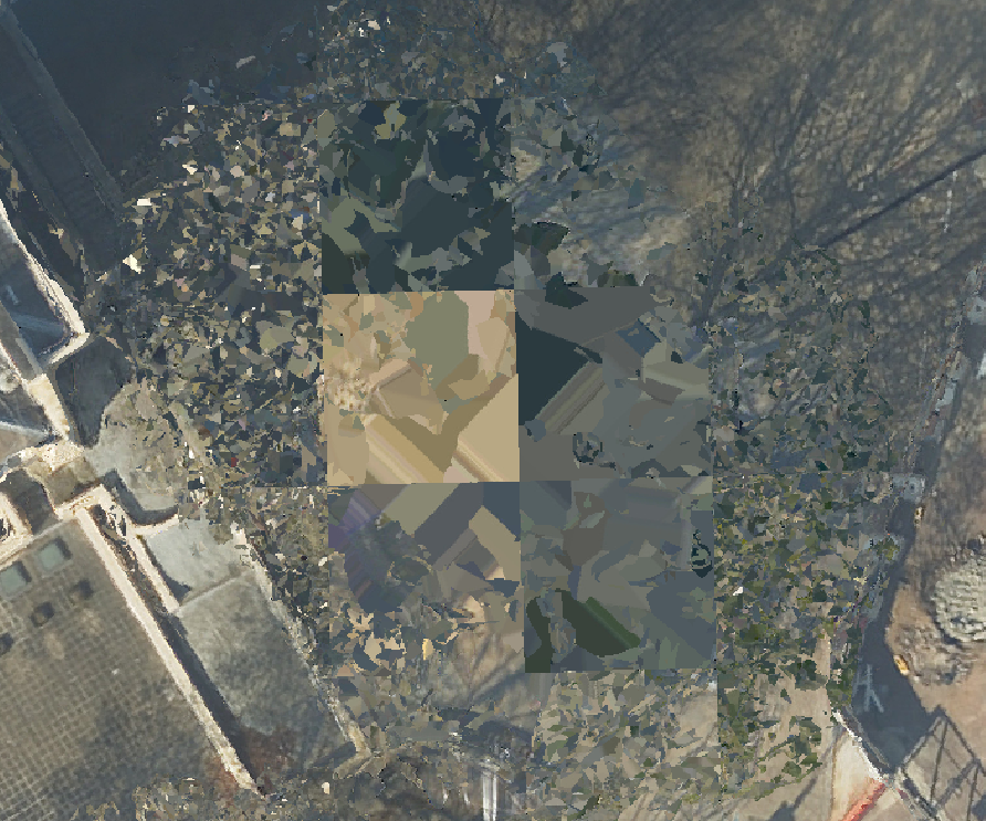
I have some photomesh files that I would like to turn into 2d top down raster images. Is there a way I can accomplish that in FME while preserving the georeferencing. Most of my viewing software allows me to export a snapshot, but the geocoordinates are not preserved.
Original data (obj)
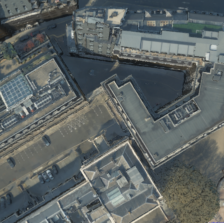
 Desired output (geotiff)
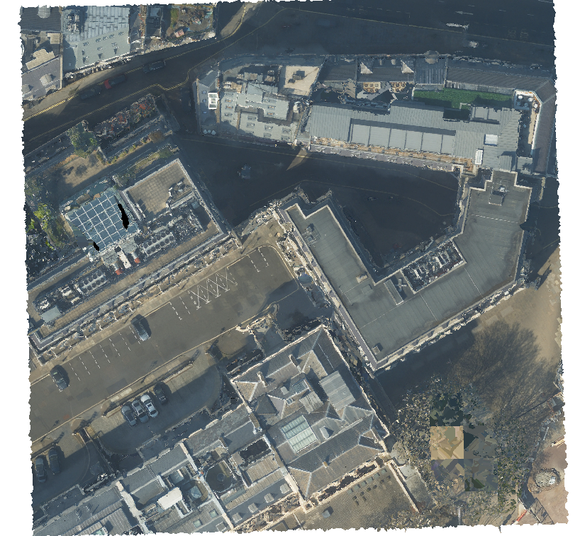
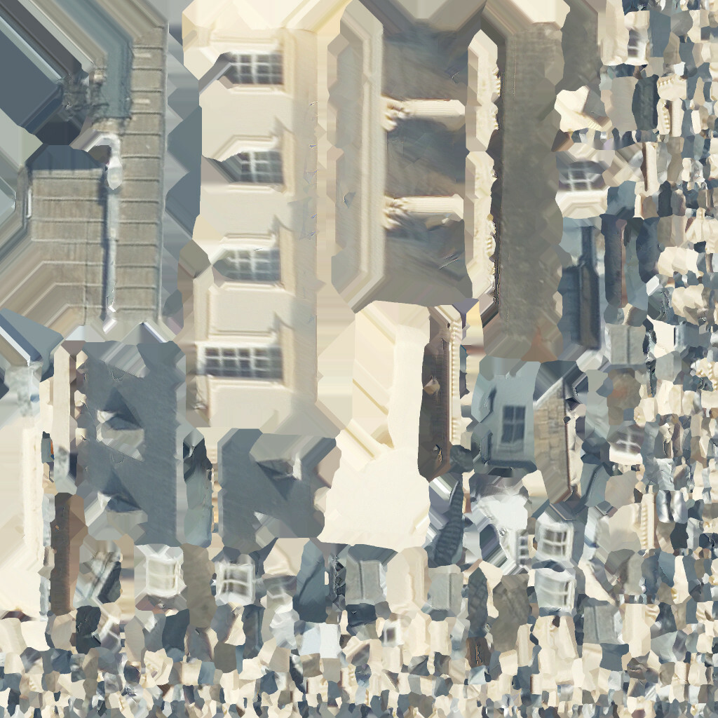
I can't just use the texture files because they are spaghetti.


 I might need to try and filter the pointcloud to only the highest z or something.