Question

Do not convert DWG to GeoTIFF

  • 20 August 2021
  • 1 reply
  • 11 views

I have a *DWG file. I want to convert it to GeoTIFF. I used tool from link: https://hub.safe.com/publishers/safe-lab/templates/converting-vector-data-to-raster#description.

Even though it exports successfully, I don't see the GeoTIFF output.

What step am I doing wrong?

Please tell me. Thanks
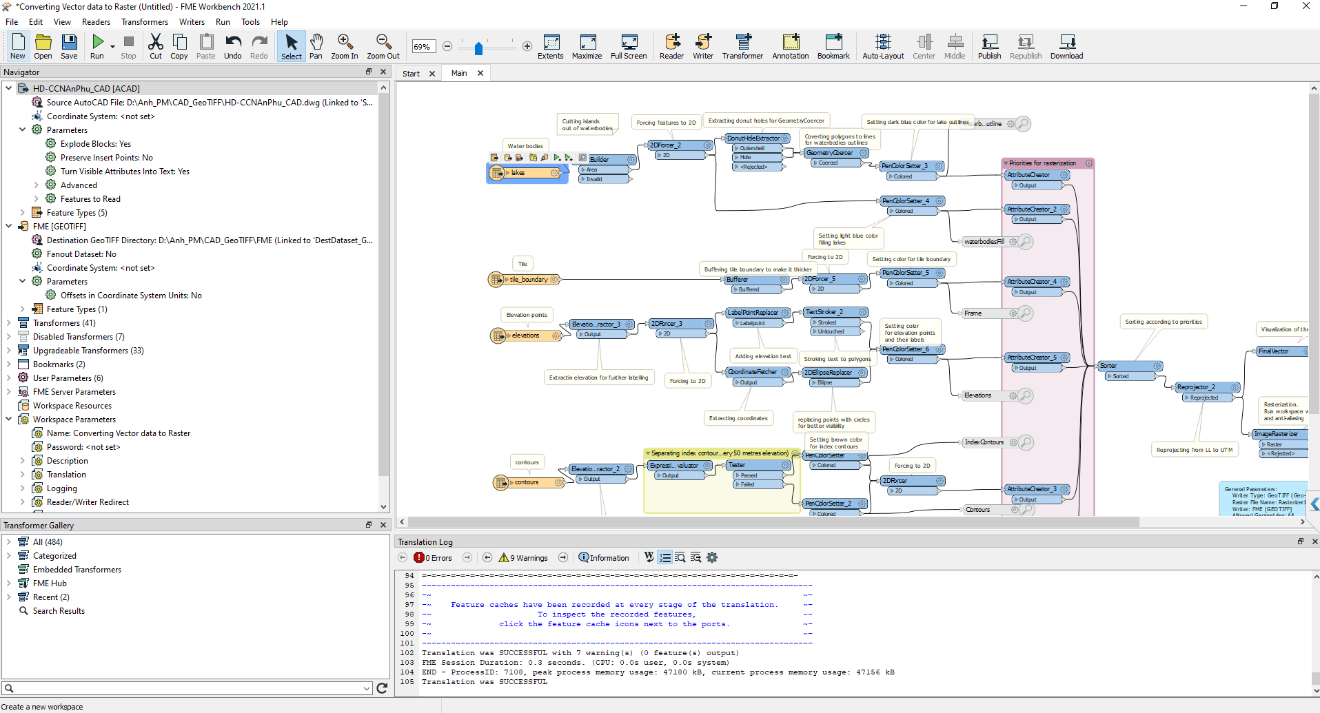
20-08-2021 14-33-49


1 reply

Badge +20

The log file says 0 (zero) features output.

The example here is very old and I think it was flawed to begin with:

  • DonutBuilder should be set to Drop Holes = Yes
  • tile_boundary in buffered with an interpolation angle of 0 - should have a float grater than 0 (put 0.01)
  • 2DEllipseReplacer on elevations dataset has to create a circle (primary and secondary axis are set to 1) in a LatLong system that is reprojected somewhere down the line. A circle with the radius of 1 degree (as in measurement of arc distance not angle) is of greater area than all other features present in the workspace (put 0.0001) - You should never create circles in a LatLong coordinate system, reproject first...
  • Rasterizer1 should have a specified PATH (maybe the setting worked in 2011 but 10 years of development changes things), just browse to a folder that you want the tiff to be exported to and click OK.

Reply