Hi there,
I'm struggling to build a proper GeoJSON file. Attached please find the source XML file which I'm trying to convert. These are all points and I would like to have the different fields as properties.
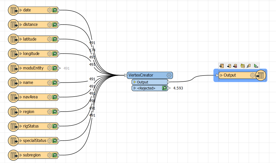
I tried to aggregate the separate "latitude" and "longitude" attributes into a single "Coordinates" attribute by means of the AttributeManager but that didn't do the job. My "Coordinates" are always read as a feature property and not as a feature geometry. GeoJSON has a specific format ( see https://geojson.org/ ) and I don't know how to construct it with FME.
Of course, I'm using the XML Reader (Parameter set to: modu/moduEntity) and GeoJSON Writer.
Any help would be much appreciated.
Thanks in advance already.