Hi, I am new using FME for cartography and I am not sure how can I create those elements in a raster map (north, graticule of coordinates, scale bar), I am currently using Mapnik rasterizer transformer to represent my raster and vector layers, and some labels, but I can't see how can I go from that to a complete map with all its elements. Thanks in advance!
Best answer by chrisatsafe
View original


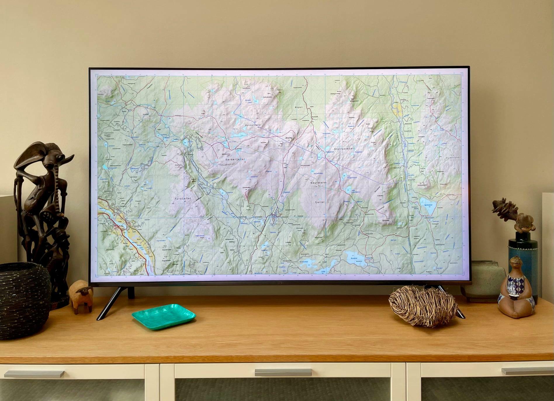
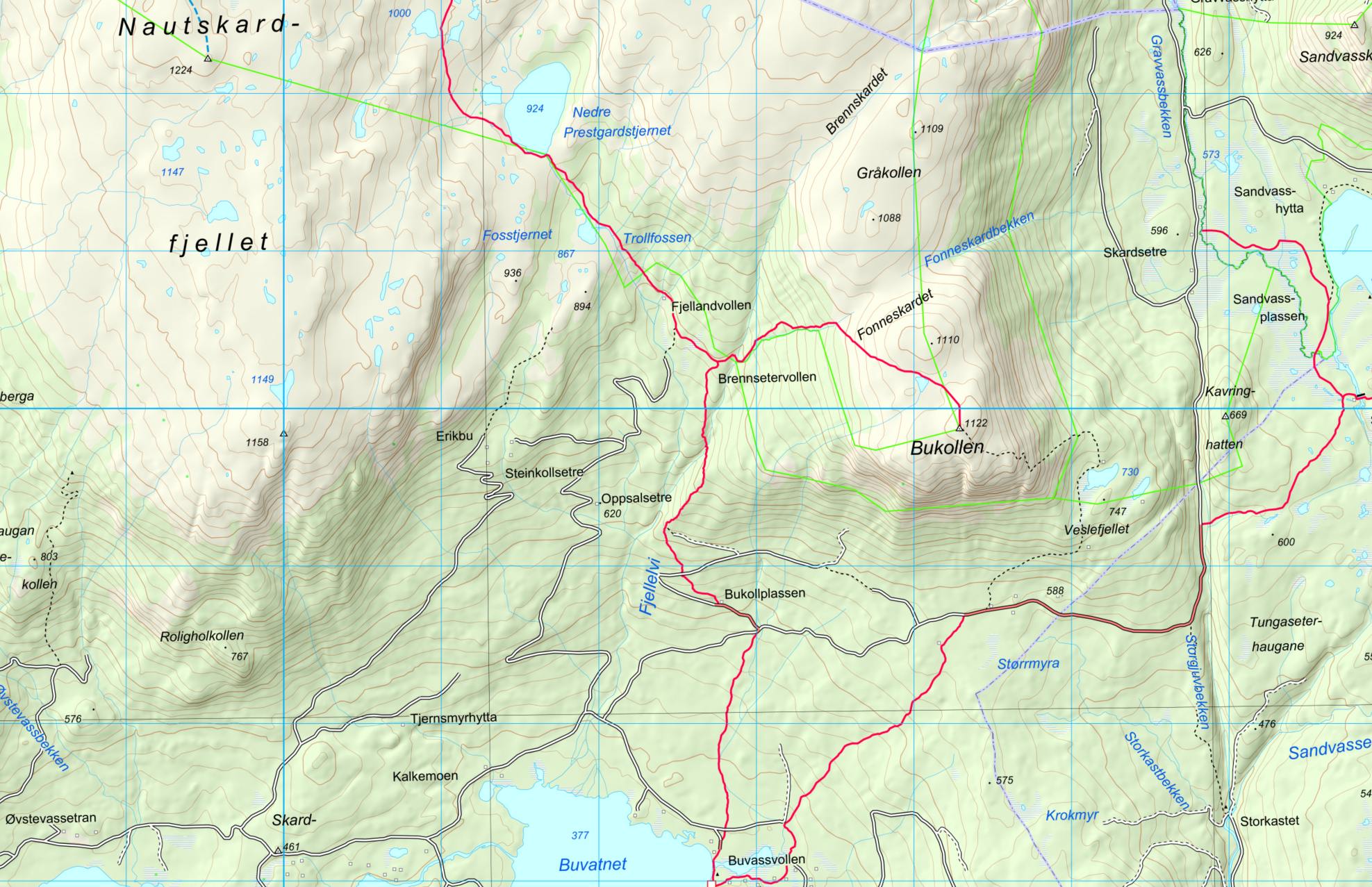
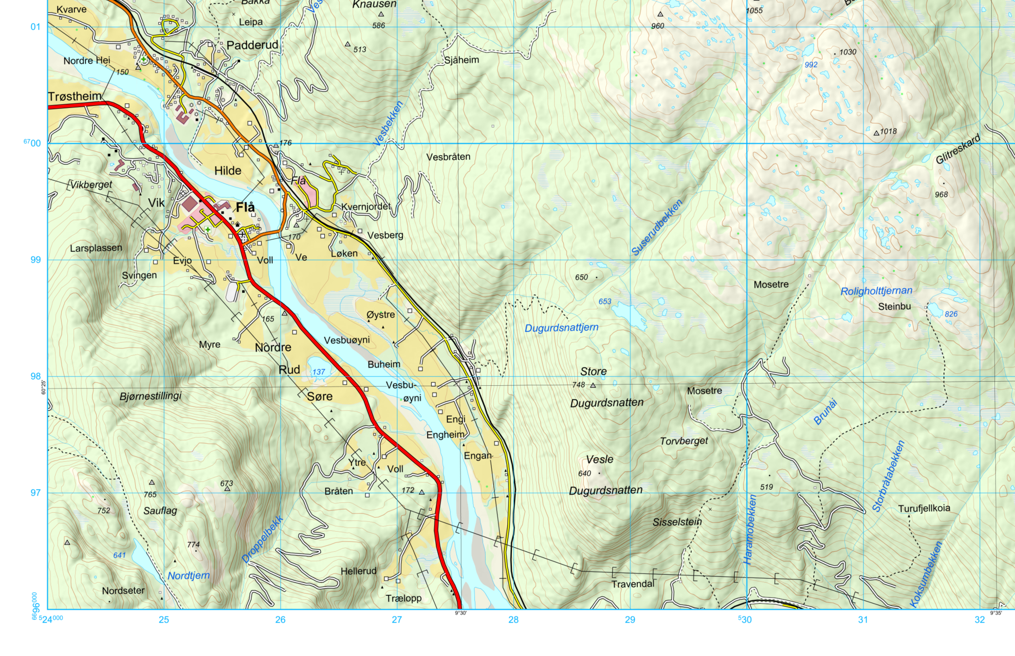
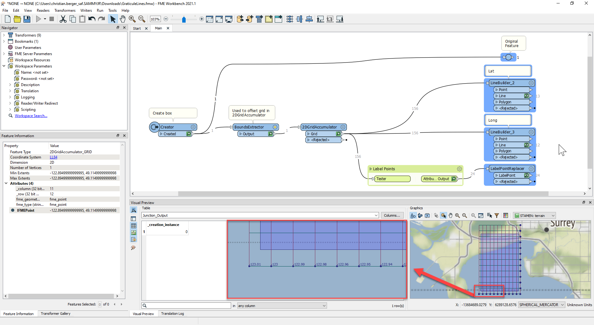 Haven't tried the north arrow but hopefully that gives you a couple of ideas!