Question

How can I snap vertices onto nearby vertecies from another dataset?


Dear community,

I have two sets of points (one dense point-cloud with 4 million points and a city gml file with about 4000 coordinates)

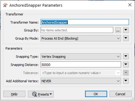
How do I snap the 4000 points from the city gml file onto 4000 points from the point-cloud?

The points from the city gml should be as close to the points, they are snapped onto, as possible.


After snapping the points, I would like to compare the old dataset (the point-clouds with the 4 million Points) with the new (snapped) dataset.


I would be incredibly grateful for every hint you could give me.

Thank you very much in advance for your help!


4 replies

Userlevel 4

The usual solution would normally start with the AnchoredSnapper, but seeing the size of the point cloud I'm not so sure how it would work out. Also, be prepared to handle degenerate geometries if several gml coordinates ends up snapped to the same point cloud location.

ok thank you for your fast answer :)

the point-cloud is height information about a tile of terrain. The city gml file with the 4000 points are the coordinates of trees. Some trees are pretty far away but some are also right next to eachother. What settings should the AnchoredSnapper normaly have? I have made a screenshot of my current setting.

The tile of the terrain is 2km by 2km.


Does the AnchoredSnapper overwrite the old coordinates with the new, snapped ones? If it does not, how do I achieve that?


screen01

Userlevel 4

ok thank you for your fast answer :)

the point-cloud is height information about a tile of terrain. The city gml file with the 4000 points are the coordinates of trees. Some trees are pretty far away but some are also right next to eachother. What settings should the AnchoredSnapper normaly have? I have made a screenshot of my current setting.

The tile of the terrain is 2km by 2km.


Does the AnchoredSnapper overwrite the old coordinates with the new, snapped ones? If it does not, how do I achieve that?


screen01

The settings look OK, but I don't understand why you're using such an enormous snapping distance. I recommend having a good look at the documentation first so that you fully understand what it does. It's fairly well explained.

Ok, thank you very much!

yes I have studied the documentation for quite some time now. Later in a next step I want to add more tiles of terrain. That is the reason why I have set the snapping distance very high... I can also set it lower for now. But I have the feeling that the AnchoredSnapper does not overwrite the old coordinates with the newly snapped ones. I need to compare the terrain- point-cloud data with the newly generated data (with the snapped points). I already tried to use a tester to compare the two datasets. But at the end it does not recognize any coordinates with the same value from both datasets... What could I be doing wrong here?

Reply