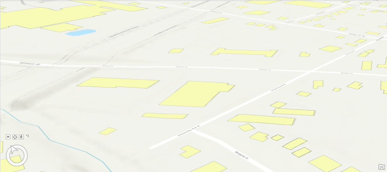
 I have a 2D shapefile of the building footprints (without the building heights in the attributes) and Lidar data. Is there a way to clip the pointcloud according to the building footprints and then extrude according to the pointcloud?
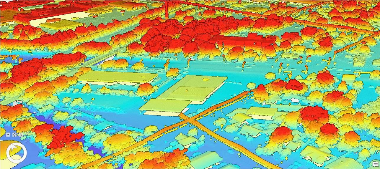
I've looked at this webinar, specifically Demo 6, https://www.safe.com/webinars/gain-total-control-of-your-lidar-and-point-cloud-data/ but the reader is giving me errors because the building reader is having troubles reading the building attributes I think.


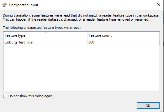 Im just guessing this means that I'm having errors with the reader. In this next photo is the User Attributes
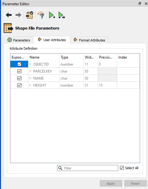 When I create a new reader using my own shape file this is the user attributes that I get
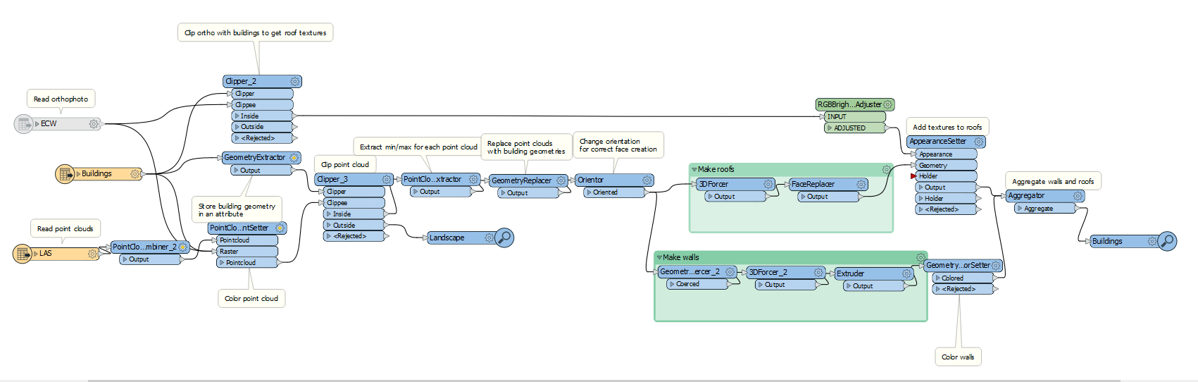
 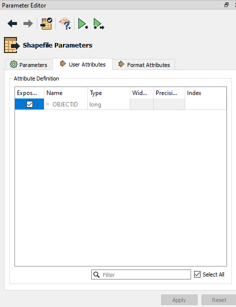 Just wanted to note that the workspace is taken from one of the webinars and I dont know how to modify it myself. This is the workspace