Hello,
I am converting a sewer network from CAD to GIS, and am attempting to convert flow arrows to flow direction in the output GIS geometric network. I have already successfully built out the conversion of the actual sewer features to GIS, and all I have left to do it get the flow direction set up.
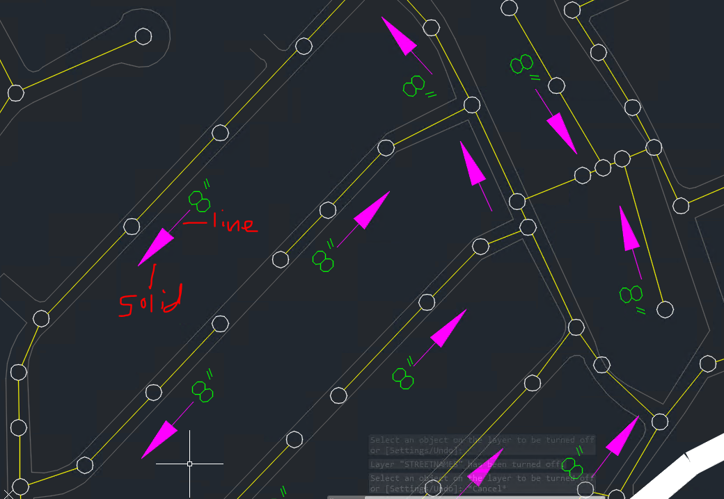
The flow arrows are drawn as triangular solids with separate lines (on the same CAD layer). Does anyone have any advice on how to convert this to flow direction in a GIS geometric network? I'm assuming the workflow will involve snapping the flow arrows to the corresponding lines, but beyond that I'm not sure how to approach this; I'm way outside of my FME experience level here. I'm guessing the Angle attribute of the line component of the flow arrows may come in to play as well.
Any suggestions of transformers and order of operations are appreciated. Thanks.