


I have a polygon feature type that came from a coerced raster grid from USGS.
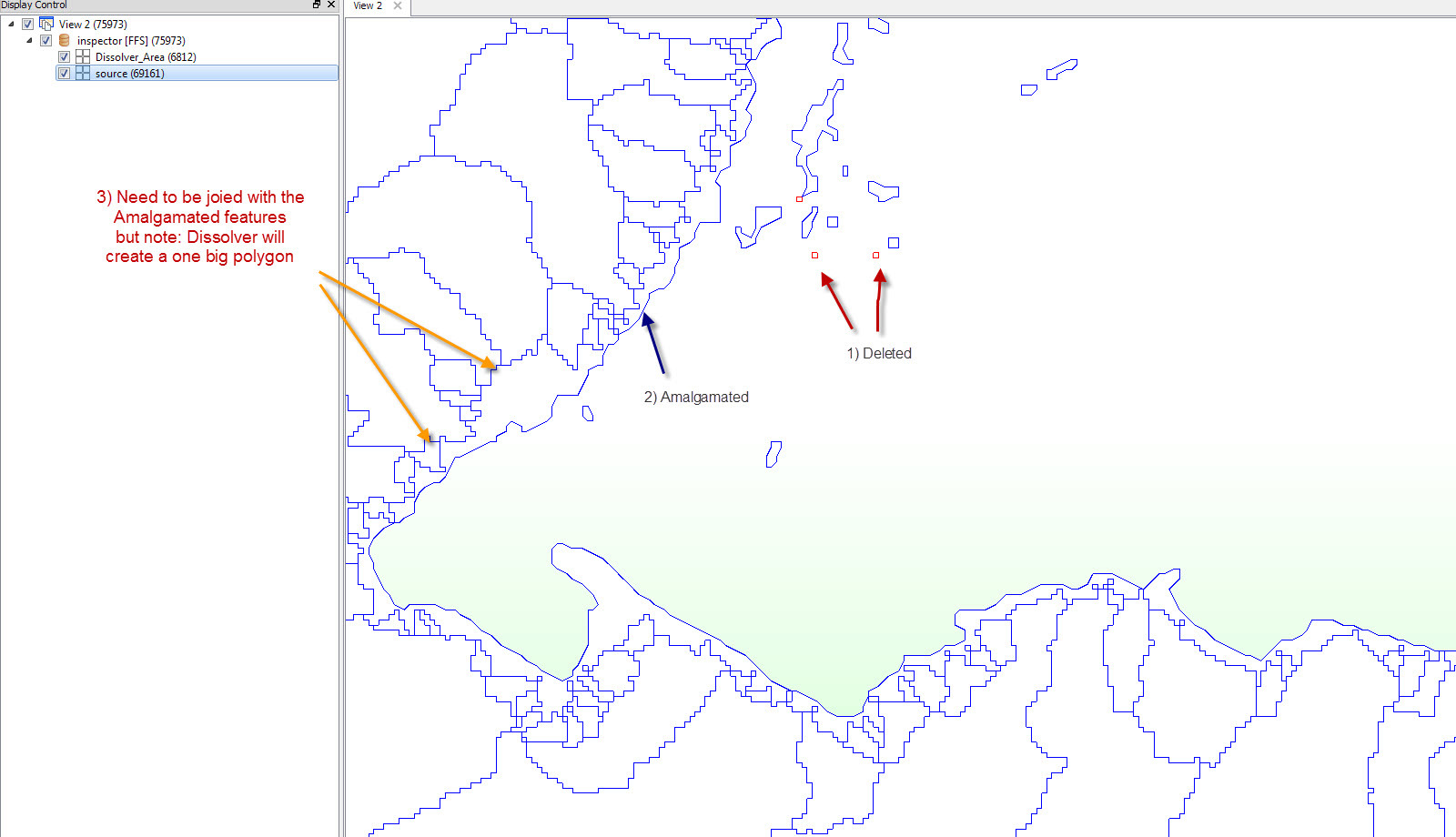
So the source data is now consists of large dissolved polygons,see snapshot, but you can see the adjacent tiny pixel polygons (I symbolizedthem in red) existing at the edges but were not dissolved to their shared big boundary polygons for some reason.
No helpful attribute exist whaich I can use to group by to solve this issue, as the attributes available are only Unique_Id and Area_Sqkm
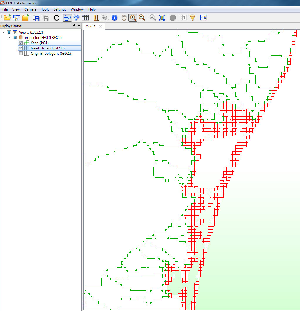
I mainly used area calculator to to filter out the tiny anomaly pixels, deaggregator and amalgamator transformers to help me in this, but this provided partial solution, and the result is not seem consistent, seamless or I would lose geometry details...
Any idea please? FME 2014 SP3
my output result are symbolized in blue..