")

Hello,
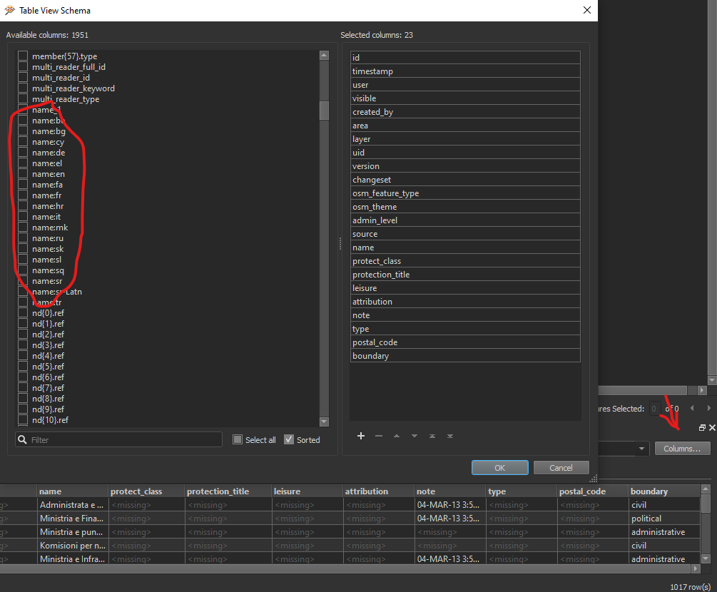
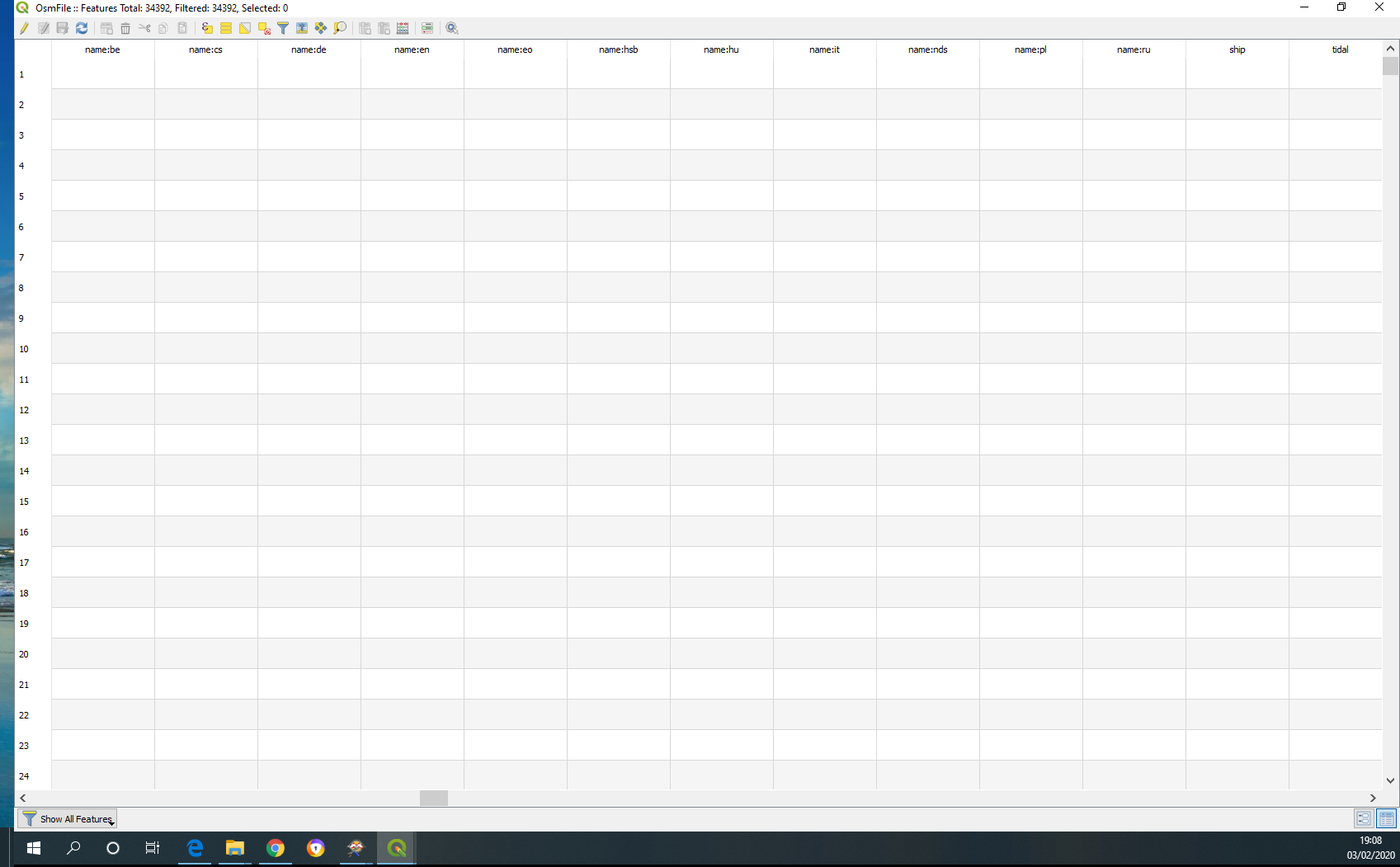
If I load a file .osm downloaded from OSM in Qgis I can see in the table all traslation present for admin boundaries.
I tried to do the same in FME but I am not able to see these attributes.
Sombody can help me to understand how to do?
Thanks
Max
this is what I see in Qgis and what I would see in FME.
Best answer by geomax
View original