Hi all,
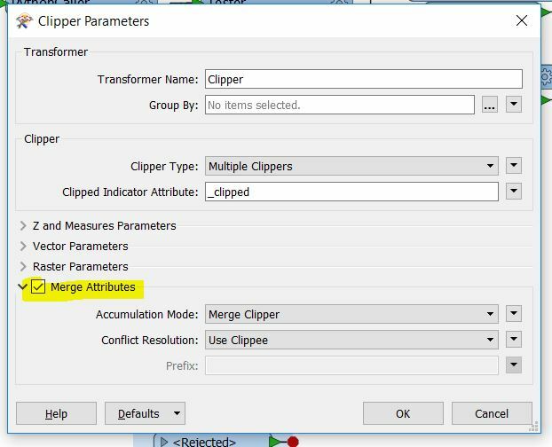
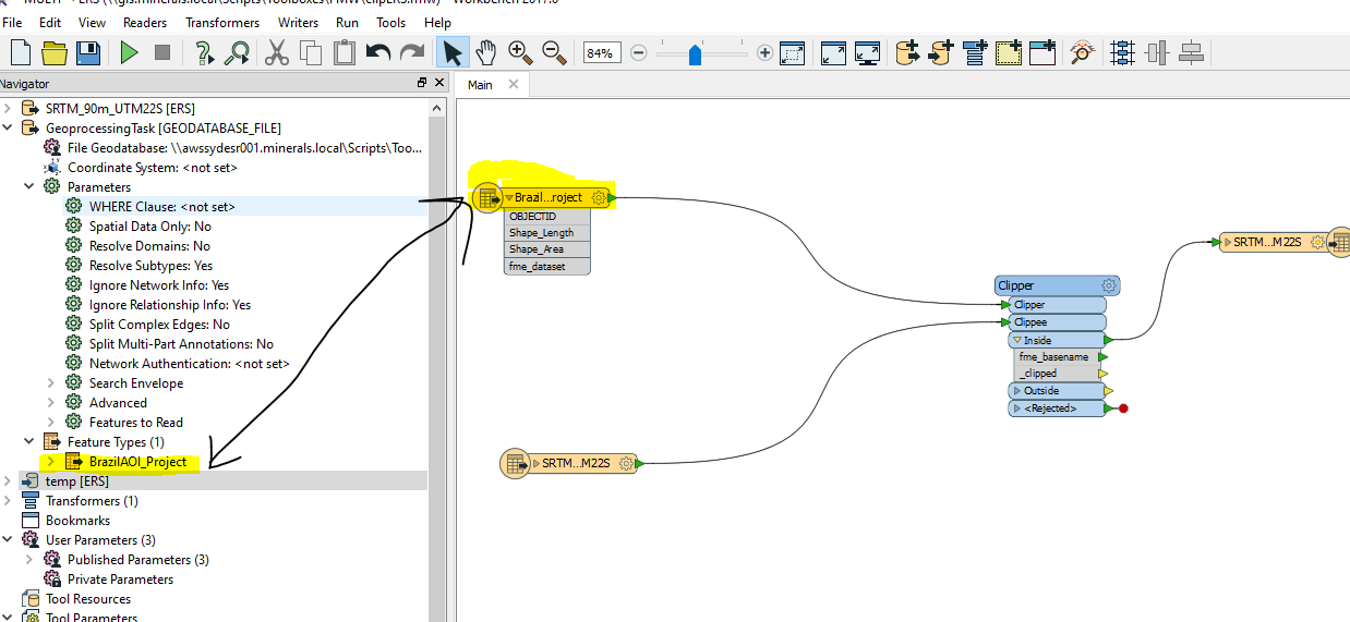
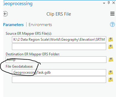
I am trying to write a task that simply clips an ERS file based on a featureclass in a file geodatabase.
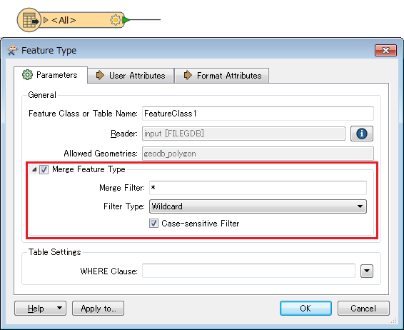
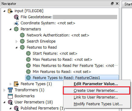
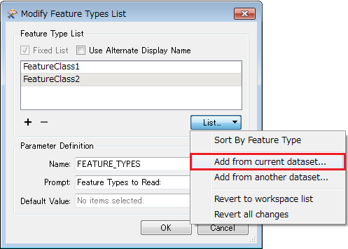
I have successfully written it with hardcoded locations in FME workbench, however the initial reader is a file geodatabase so when you import the .FMW into a GP toolbox the input parameter is the FGDB.
Anyone know how you can set up a parameter in FME to allow the featureclass to added instead so the GP tool can be used to select the feature class used for the clip?
Thanks in advance,
Gareth