Solved

Conversion from file geodatabase raster to TIFF

  • 4 March 2020
  • 2 replies
  • 55 views

Badge

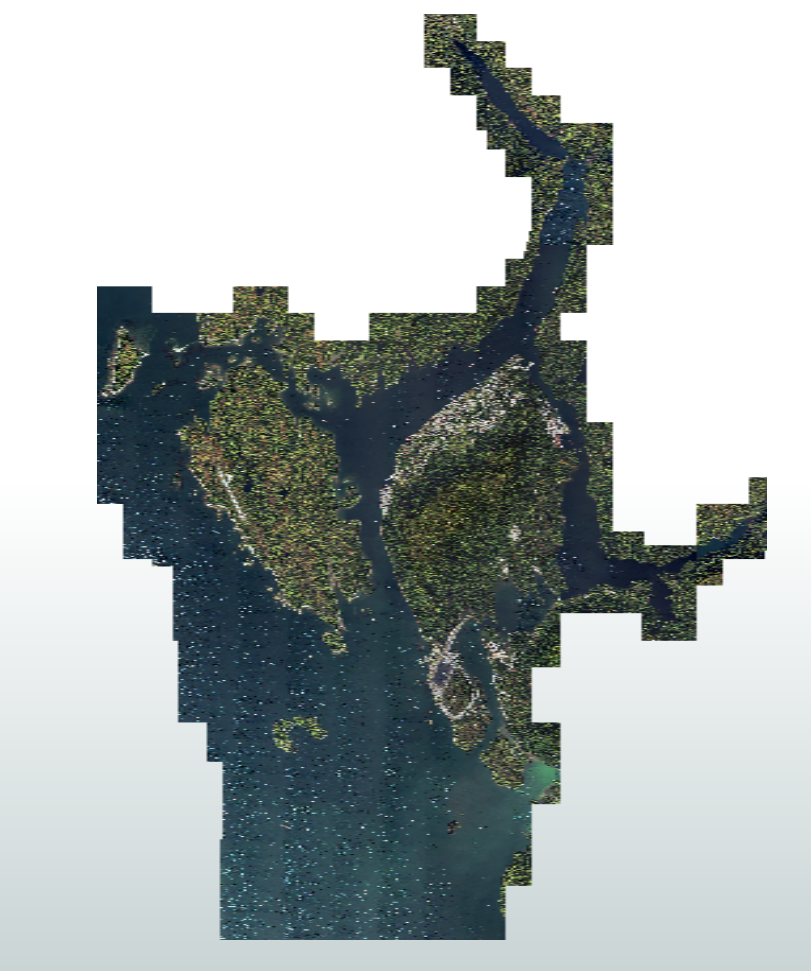
I have an orthophoto in ESRI GRID format stored in a file geodatabase. It works really well in ArcGIS and ArcGIS Pro; however, I need to convert this image into a GeoTIFF for a contractor that does not have an ESRI based GIS. I have tried to do this in ArcGIS Pro but I keep running into resolution and grainy output problems, and the documented fixes and remedies are not helping.


As I have FME Desktop, and I have seen that FME is capable of converting raster imagery from one format to another, I thought I would give that a try...but now my output is even worse than before.


Not being one to give up I thought I would come here to see how I should approach this using FME. Is there a trick to converting raster images? I thought it would be something quite straight forward (e.g. Geodatabase raster reader --> TIFF writer), but obviously the process will be a little more complex than that, at least this is my current thinking.

What is the best way to convert an image from one format to another using FME?


Thank you

icon

Best answer by virtualcitymatt 5 March 2020, 09:19

View original

2 replies

Userlevel 4
Badge +26

Perhaps you can send a screen shot of it looking worse? Perhaps your logfile has some warnings?


If it's happening in both ArcPro and FME it might be related to the GRID itself? If you inspect the input GRID data with the FME data inspector does it look ok? The trick will be figuring out where the problem is Coming from. Either Data, FME Reader or FME Writer. If it looks great after you read it in FME (you will need to Zoom in to see the proper resolution) then the problem might be an issue with the configuration of the writer.


If it looks bad when inspecting at first in FME then it might be the data. Perhas ESRI is doing some kind of smoothing on the fly?


Badge

virtualcitymatt:


Thanks for the feedback...it's appreciated. I would have replied yesterday but I was running 3 separate processes in ArcGIS Pro, ArcCatalog, and FME and it took well over 14 hours to complete. However, the ArcMap conversion to TIFF failed and would only process ¼ of the image, but about my 5th attempt using FME I got it to work. My 4th attempt also worked but for some reason it wasn't just using the projection of the original image and the resulting image would not sit in the correct place. So I tweaked the FME Workbench process to look like below (forcing the projection). The RasterBandNoDataSetter was an option I found while reading online...not sure if it did anything, but I don't care at this point :-):


I think my main issue was setting the pyramid levels correctly. I tried the exact same settings using ArcGIS Pro but the resulting image still came out grainy...but FME seems to handle this much better:


Original orthophoto in GRID format:


Final TIFF output using FME:


Unfortunately I deleted the grainy outputs as I was running out of space, However, once I got the projection and configuration set up properly FME handled this much better. It's too bad it takes about 14 hours to run though LOL. After 7-8 attempts starting earlier this week it appears that I FINALLY got this to work properly. Now all I have to do is document the process steps in detail so I won't forget how I did this. I can work on improving this later :-).


After a little digging, I found one of my previous attempts at converting this file...this is the issue that I was trying to resolve:


Reply