Question

Raster To Vector Conversion

  • 21 July 2016
  • 3 replies
  • 65 views

Badge +2

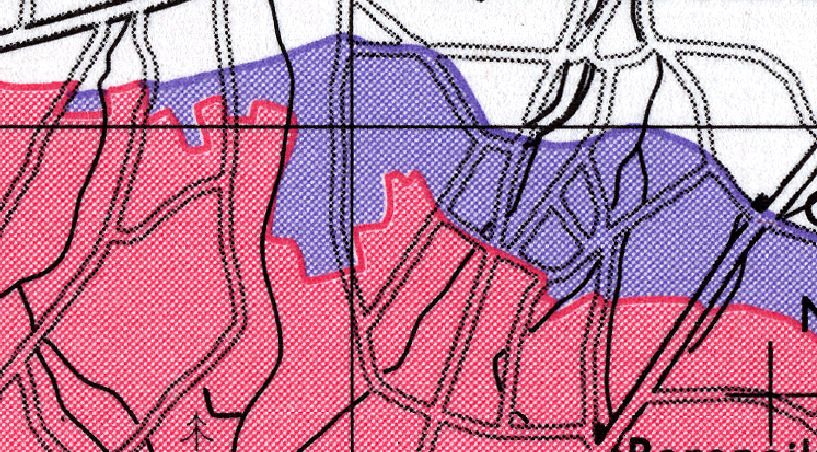
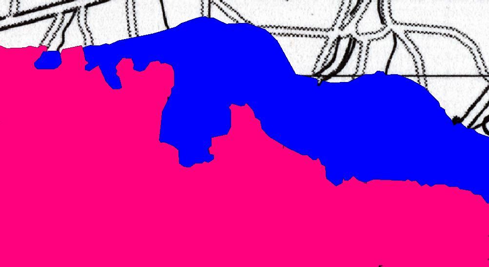
Wondering if anyone has any advice for converting an old scanned printed map TIFF to capture polygon features. I've seen the Knowledge Center on converting an elevation raster to vector polygons. However as this map has been printed then scanned I can see the screened dots. See this sample of the image where I would like to capture the red and purple polygons.

Thanks


3 replies

Userlevel 4

I'm sure you could use stuff like ImageMagick's "quantize" to (try and) create individual rasters per color, but since your colours aren't perfectly solid and your maps has been printed and then scanned again, you would probably have to introduce quite a bit of tolerance, risking false positives and/or a lot of manual quality control.

Honestly, if you have a lot of these polygons to digitize I'd seriously consider outsourcing the work to e.g. India or China. There are several companies that specialize in this line of work.

But of course it would be more fun to do it with FME :-) Hopefully someone else here has done something similar.

Badge +22

I'm not sure I would attempt this in FME. If you don't have access to software like ArcScan, I would use an image processing software to run a median filter to remove screening (dithering) effect prior to vectorization. I would also strongly consider reclassing the black pixels to their neighbouring values.

Userlevel 1
Badge +10

Getting to a rough outline is fairly straightforward, using a raster polygon coercer then testing for reddish and blueish pixels, bufferering and dissolving, removing holes. Probably a fair big more work again to tidy up. I guess it depends on how accurate you need the final result to be and how much time is worth refining the output

Reply