point cloud screen shot.
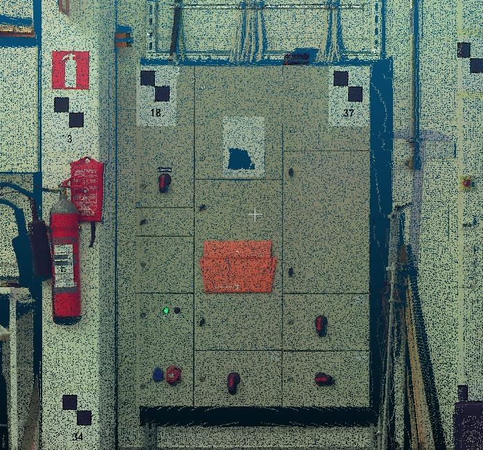
Geotiff infrared image of an electrical board.
Best answer by takashi
View original
point cloud screen shot.
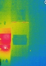
Geotiff infrared image of an electrical board.
Best answer by takashi
View original
 +17
+17
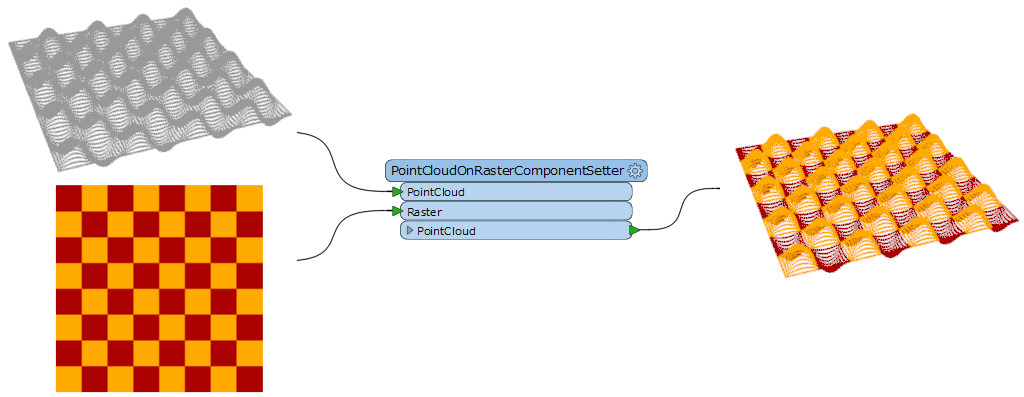
Hi @gnawali66, I think you can use the PointCloudOnRasterComponentSetter (Component to Set: Color).
Hi takashi,
Sorry for bothering you every now and then. I have tried same way as you suggested but i couldnt print the color on point cloud. Please have a look at attached files, how can i solve this error? Thank you @takashi
+17
Hi takashi,
Sorry for bothering you every now and then. I have tried same way as you suggested but i couldnt print the color on point cloud. Please have a look at attached files, how can i solve this error? Thank you @takashi
cartesianX,x,cartesianY,y,cartesianZ,z,colorRed,color_red,colorGreen,color_green,colorBlue,color_blue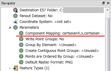
Hi takashi,
I had this setting as well but i cant extract color from raster. I tried with writer format LAS but did not find the solution. Should i use any additional transformation to get color from Geotiff image? Since point cloud file has its own coordinate and i geo-referenced tiff file based on those coordinate, so TIFF file doesn't have Z co-ordinate. I am hoping to get help from you! Thanks a lot @takashi for your valuable time.
+17
Hi takashi,
I had this setting as well but i cant extract color from raster. I tried with writer format LAS but did not find the solution. Should i use any additional transformation to get color from Geotiff image? Since point cloud file has its own coordinate and i geo-referenced tiff file based on those coordinate, so TIFF file doesn't have Z co-ordinate. I am hoping to get help from you! Thanks a lot @takashi for your valuable time.
You can use the CoordinateSwapper (or the PointCloudComponentRenamer) to swap y and z, before and after coloring.
Enter your username or e-mail address. We'll send you an e-mail with instructions to reset your password.
