Question

The output polygon layer of workbench has problems,


Badge +5
The output polygon layer of the workbench has problems,


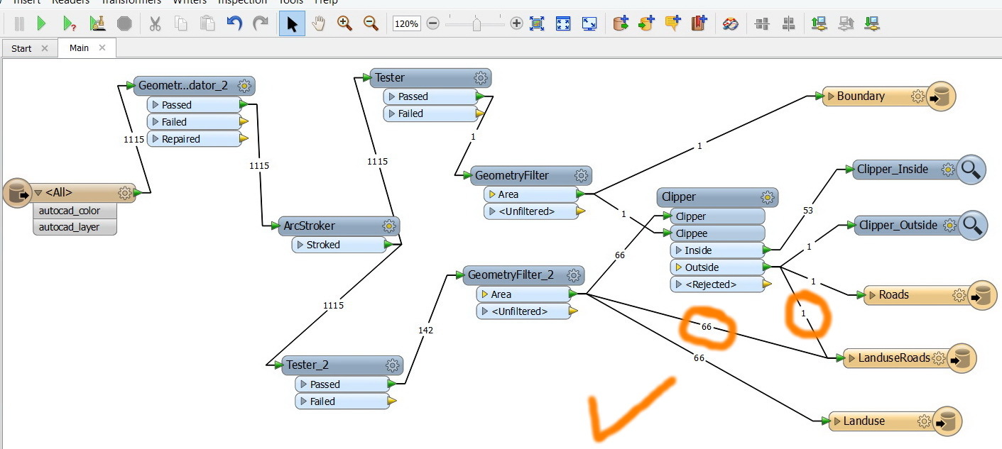
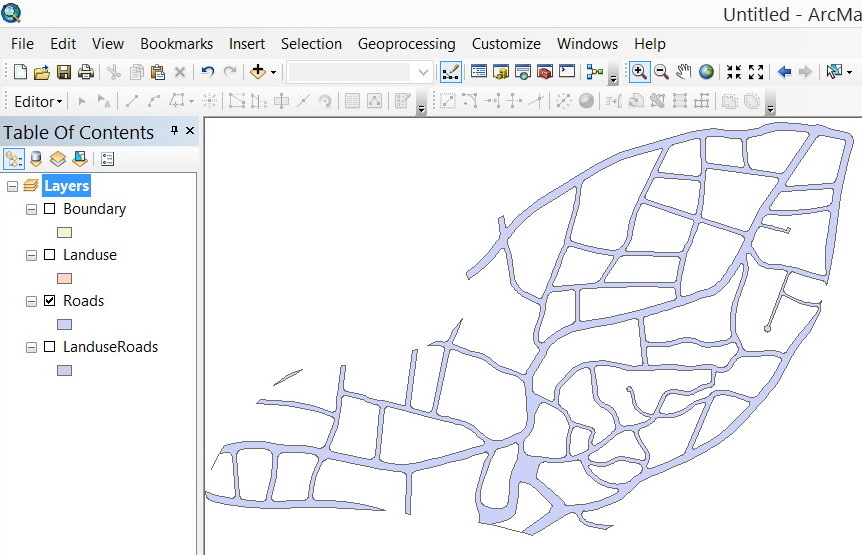
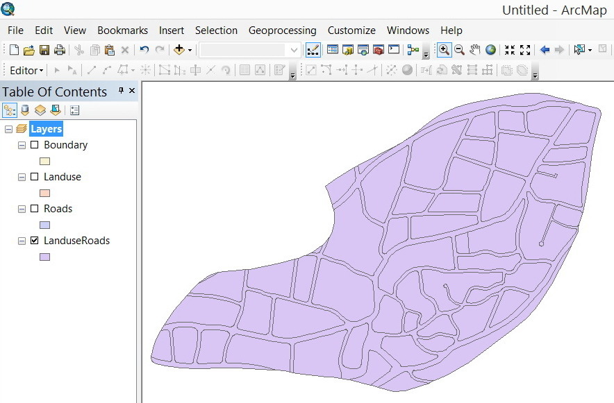
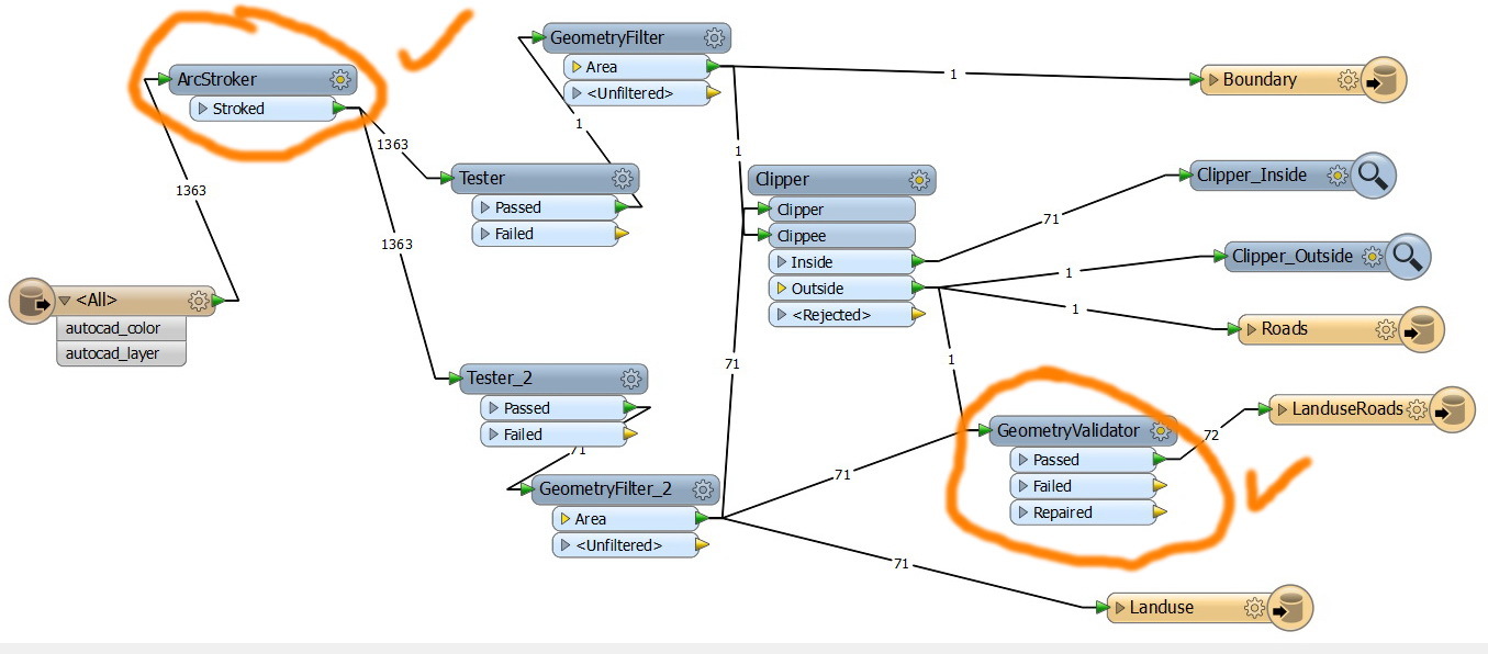
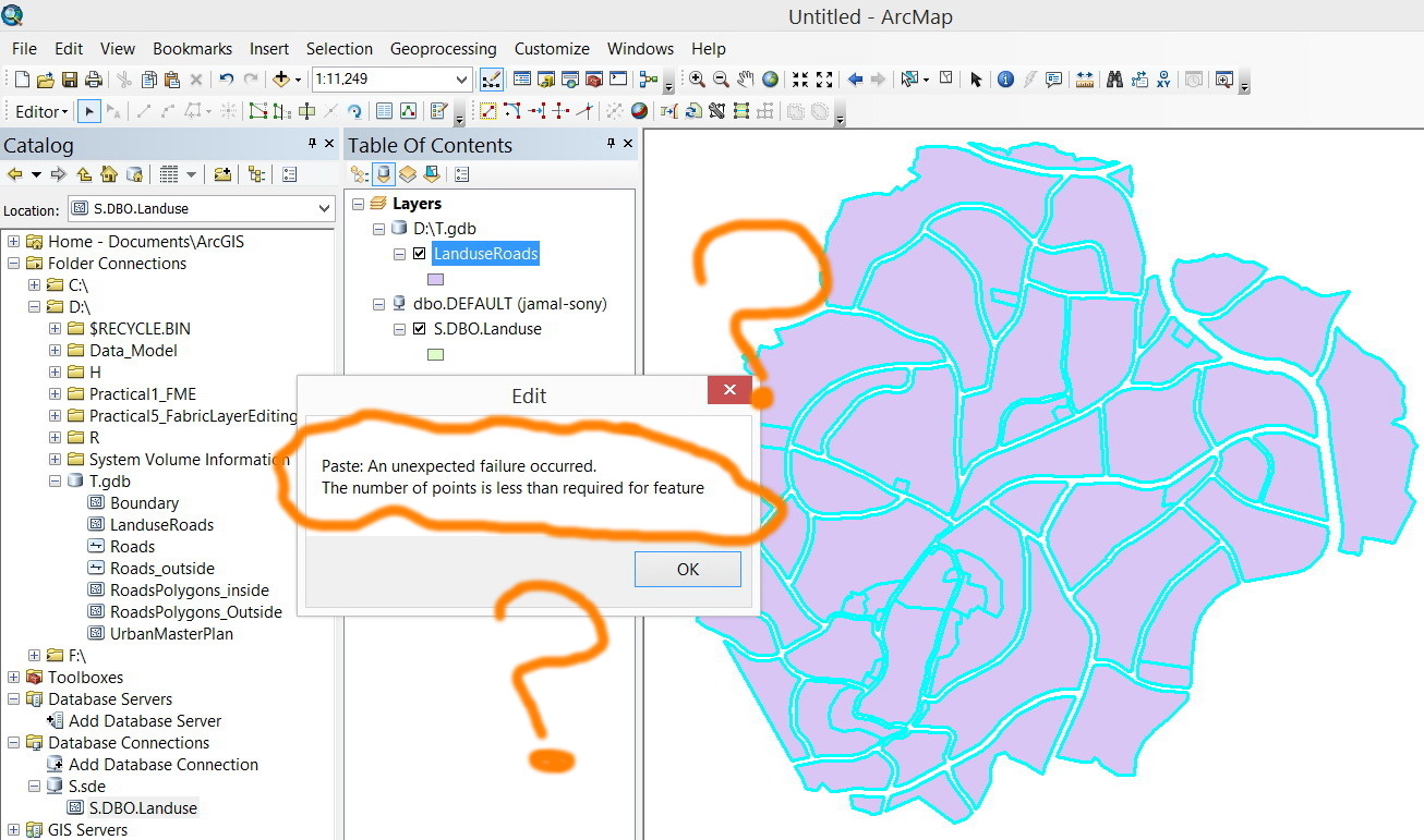
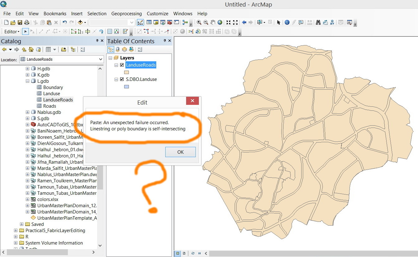
As the “LanduseRoad” layer is generated by the workbench, this layer is wanted to be copied and pasted to another layer but two errors are introduced:


1. “The number of points is less than required for feature”


2. “linesting or polyboundary is self-intersecting


What might be the issue here?


Thank you


Best


Jamal

4 replies

Userlevel 2
Badge +17
Hi Jamal,


I have no idea about the 1st error: “The number of points is...".


Regarding the 2nd error, there seem to be self-intersections in the polygons, as long as seeing the error message. Did you validate self-intersections with the GeometryValidator before writing them?


Takashi
Userlevel 4
Hi,


for the first error, did you isolate the problematic feature and inspect the geometry in detail using the FME Data Inspector? Try redirecting the output to the Inspector and click on the offending feature to see the feature attributes. Then expand the geometry attributes and check if it's a valid geometry.


Please also tell us which settings you used for the GeometryValidator.


Be aware that the GeometryValidator isn't a magic bullet, there a cases it cannot fix. There are also cases where a repaired geometry may have other errors introduced, which is why it is sometimes necessary to chain several GeometryValidators on the REPAIRED port.


David
Badge +3
Clipper as with intersector and overlayers,  can result in not forseen objects if u dont plan your inputdata carefully.


Your roads polyline layer in the autocad file is, for instance, pretty messy.


landuse layer has geometry wich can cause problems when used in clipping.


A 2 point area for instance....it is possible. Or an area with all its point in the same location. I encounterd lots of funny GEO during my analysis years.


It is possible to write faulty geometry to shapefiles using fme. Arcmap would never do that (well.. i never seen that happen )


Gio


Badge +5
Thank you Takashi, David and Gio for the help,


What is confusing me the most is that I’m deriving my Boundary and Land use from the HATCHES of the AutoCAD. Other AutoCAD objects are filtered out.


From the ArcGIS point of view, two commands can be used to take care of these two problems: “repair geometry” and “check geometry”. As they are applied, the two issues are resolved. What equivalent tools are in FME so that they can be added to the workbench to obtain clean geometry?


If I apply the same workbench on other CAD file the results are 100% correct


CAD:


http://www.mediafire.com/download/3wqcy01uw3t1wu9/Marda_Salfit_UrbanMasterPlan_03.dwg


Workbench:


http://www.mediafire.com/view/dn9mey2e0ncll66/Roads.fmw


Reply