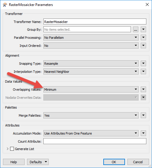
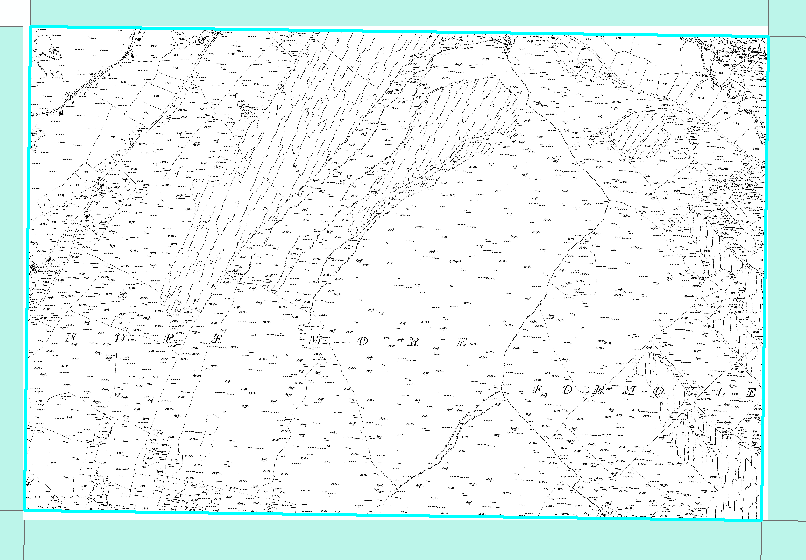
I have multiple black and white rasters. I want to mosaic them together and then compress them to make them more manageable. These rasters however are scanned images of historic mapping.This means that I have areas outside the georeferenced bounding box that are white(see image). Most sheets have these white areas, so when I mosaic these sheets together there is overlapping, this leads to part of a sheet being covered by another sheet.
As these sheets are georeferenced should the extra white areas not both be forced underneath the sheets they overlap? Is there anyway I can force this to happen?
Best answer by fmelizard
View original