Hi, I hope you can help me. I have LiDAR and NIR data where I need to extract the location and possibly the height of the trees along the city boulevard. Thanks so much.


Userlevel 4
 +13
+13
- Contributor
- 3701 replies
-
22 June 2017

Hi @ruby. Sharing a few more details will help the FME community help you. Please reply to this thread and provide additional details including:
- The version of FME you are using, including build number and edition
- A small sample of your data, or screenshots of the data in the FME Data Inspector
- A description of your expected output, with screenshots if possible
- Your FME workspace
- Your FME translation log file
- Any other information that may be useful to share
Hi Natalie. Here are the info;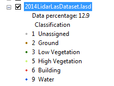
- FME Desktop ESRI Edition (Floating) : FME ® 2017.0.0.0 (20170228 – Build 17529 – Win64)
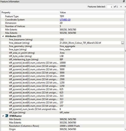
- Input – NIR Raster data in TIFF and LAS file. The LAS file is really big. I just took a screen shot (below). I have an idea about getting the tree heights after identifying the tree location using ArcMap’s Geoprocessing tools.
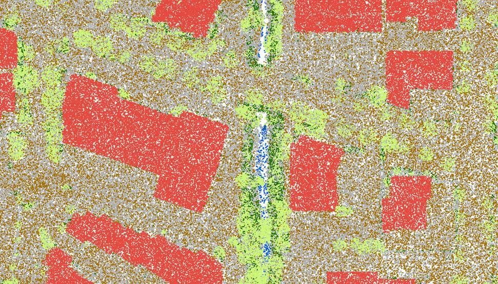
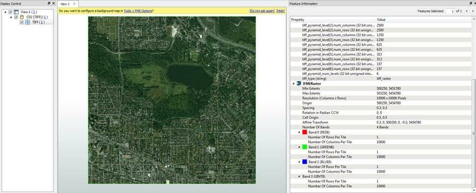
- Sample Tile info below:
- Screen shot of the LAS data (451 LAS files (Classified)
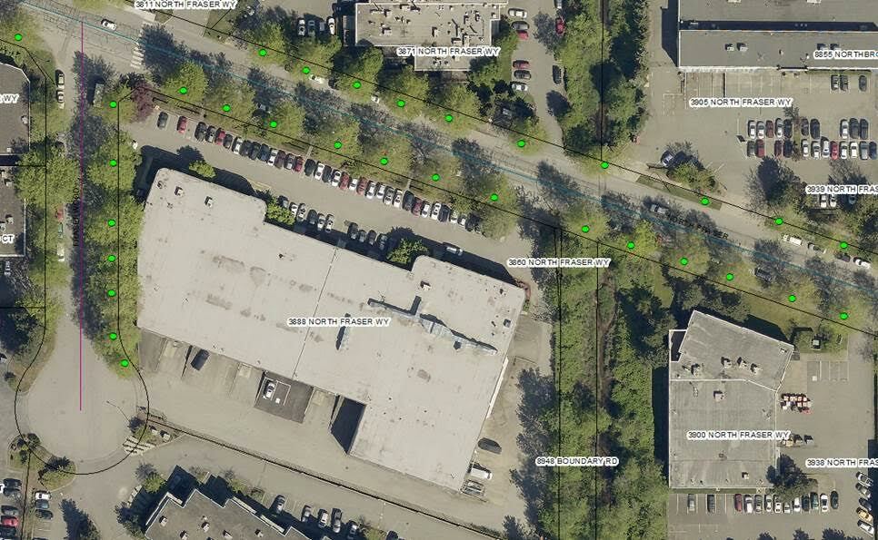
- The Output looks like below. I started using ESRI’s. The output will be a point feature in SHP or FGDB format.
I started a workspace but not really successful.
Userlevel 4
+13
- Contributor
- 3701 replies
-
23 June 2017
Hi @ruby. This point cloud workspace created by @dmitribagh for the 2016 World Tour may be helpful in getting started with workspace creation: https://www.dropbox.com/s/d9lon9qqa8492wr/PC_Sort_Merge_for_DEM_Class.fmwt?dl=0
Thanks so much for your help.
Reply
Enter your username or e-mail address. We'll send you an e-mail with instructions to reset your password.