Solved

Compare elevation in two rasters (created from lidar)

  • 12 October 2016
  • 1 reply
  • 7 views

Userlevel 4
Badge +13

I am hoping for some help with comparing two different years of lidar.

I converted the area of interest to geotiffs.

I want to compare elevation. Bare earth / mud elevation.

I want to know the difference in elevation.

icon

Best answer by fmelizard 12 October 2016, 19:38

View original

1 reply

Userlevel 4
Badge +13

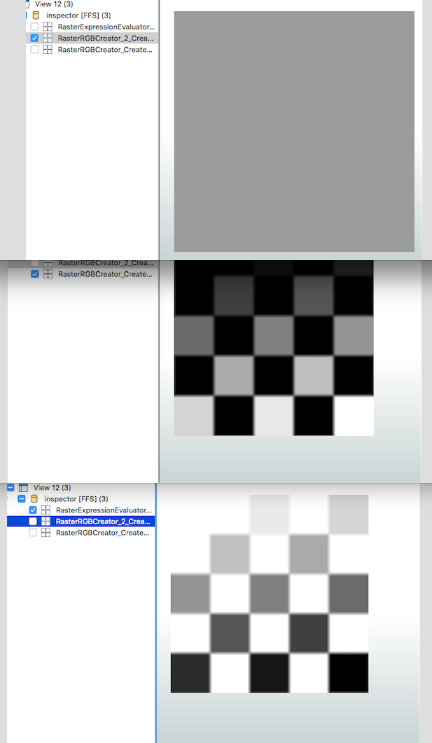
The RasterExpressionEvaluator transformer can be used for this purpose. You will need to ensure that your datasets use the exact same extents. This can be accomplished using a combination of the BoundingBoxReplacer and the Clipper transformers. Here is an example that shows the procedure for a numeric (single band) dataset.

rasterexpressionevaluator.fmw

----

Reply