Hello all,
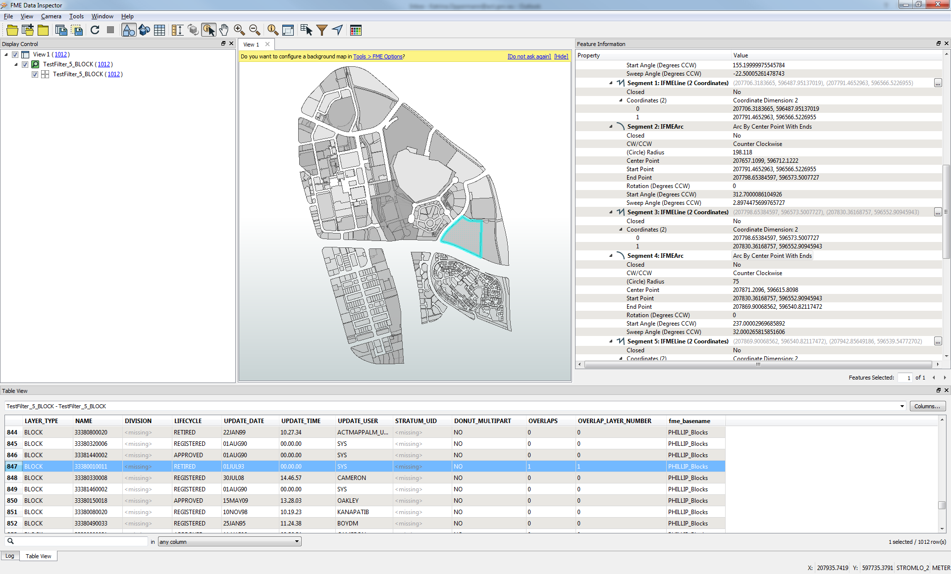
I've got a lot of parcel data sets I need to reproject, and I want to use the CSMapReprojector as this allows the use of ellipsoid heights, however I've just noticed that the tool is converting my true curves to densified lines. Is there any way around this? If I can't get it to work, then I won't be able to use the CSMR.
Thank you!