I am new to FME and I am trying to convert a GeoTIFF file into CADRG file. But unfortunately I am getting unwanted results. The resulting CADRG file just looks like a blank black colour raster file i.e., I suspect there is some error either in the GeoTIFF reader or transforming process or CADRG writer. Please give some insights on how can I overcome this issue?


Userlevel 4
 +25
+25
- Safer
- 2392 replies
-
19 June 2017

Some quick hints to debug (any scenario, not just this):
1) Open the source data in the FME Data Inspector. If it looks incorrect there, then the reader is at fault. If it looks OK then...
2) Run the translation with Redirect to Inspector turned on. If it looks incorrect there, then the transformation is at fault. If it looks OK then...
3) Open the output data in the FME Data Inspector. If it looks incorrect there, then the writer is at fault.


 +22
+22
- Contributor
- 1959 replies
-
19 June 2017

Some quick hints to debug (any scenario, not just this):
1) Open the source data in the FME Data Inspector. If it looks incorrect there, then the reader is at fault. If it looks OK then...
2) Run the translation with Redirect to Inspector turned on. If it looks incorrect there, then the transformation is at fault. If it looks OK then...
3) Open the output data in the FME Data Inspector. If it looks incorrect there, then the writer is at fault.
Userlevel 4
+25
- Safer
- 2392 replies
-
19 June 2017
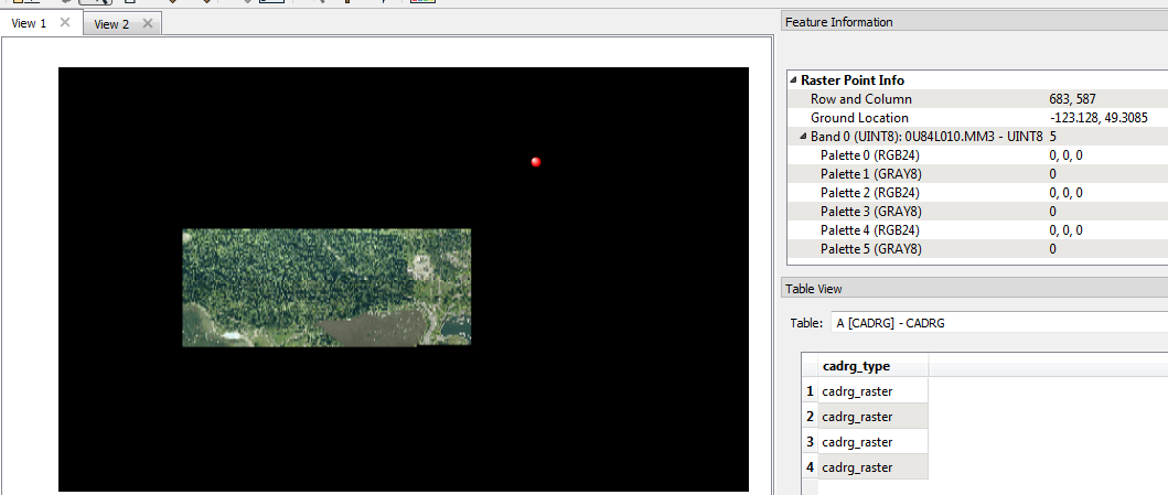
I can confirm that a standard 8-bit geotiff will produce a black output using the CADRG writer and default parameters.
+22
- Contributor
- 1959 replies
-
19 June 2017
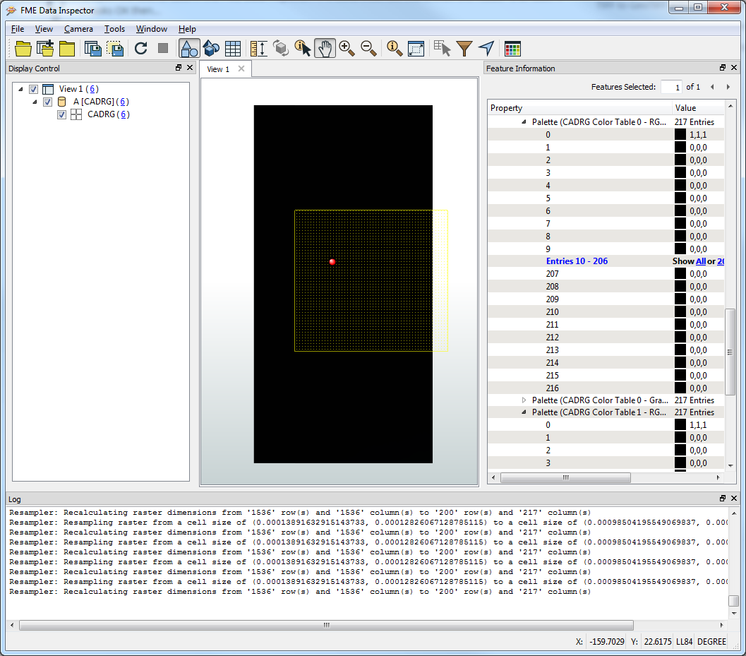
Interesting... I just tried and it worked fine! There are large black borders around the data, but I assume (not knowing the format) that cadrg has fixed tile sizes and that is just areas of nodata.
I'm using build 17259.
The issue seems to be in generating the palette, where all entries but 1 are set to 0,0,0.
I'm using build 17259.
The issue seems to be in generating the palette, where all entries but 1 are set to 0,0,0.
Userlevel 4
+25
- Safer
- 2392 replies
-
20 June 2017
yes. I am also facing the same issue.
Reply
Enter your username or e-mail address. We'll send you an e-mail with instructions to reset your password.