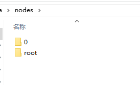
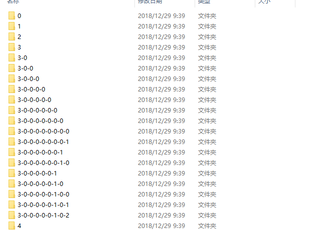
use FME Desktop 2018 to convert a revit data into Esri I3S format(Indexed 3D Scene Layer).
the exported data can be viewed in ArcGIS Pro 2.1 and sucessfully published as a scene service in ArcGIS Portal 10.6.
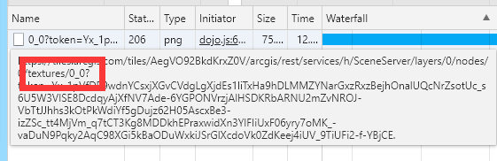
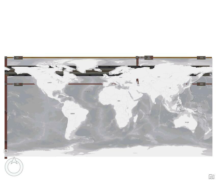
but the scene service from this exported i3s data cann't be viewed incorretly in Portal scene viewer.
thanks all!


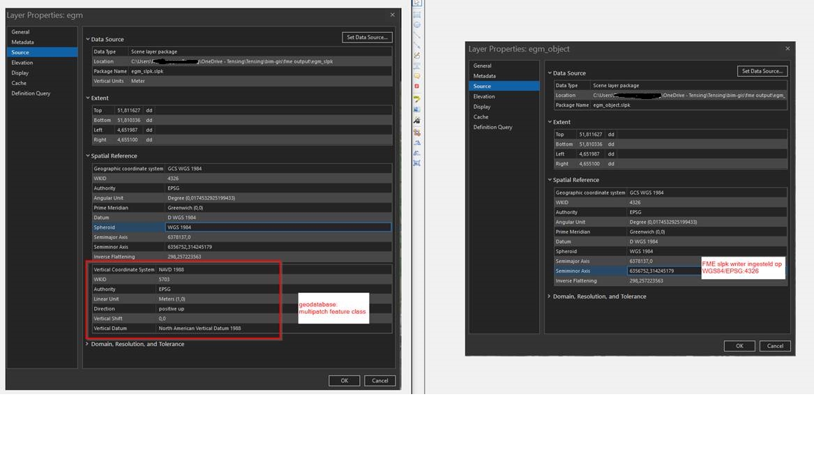


 the good news is that we can still open it in arcgis pro and it did shows a vertical coordinate system, but still no show in portal. Also we tried your way to put them into a geodatabase then to portal, well,this worked.