Solved

BIM (revit) to Cesium3dTiles, Reprojection Failed

  • 5 November 2019
  • 8 replies
  • 10 views

Hi everyone,

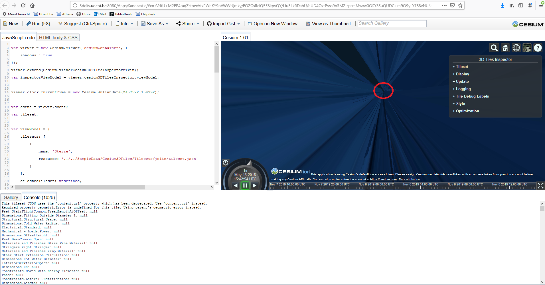
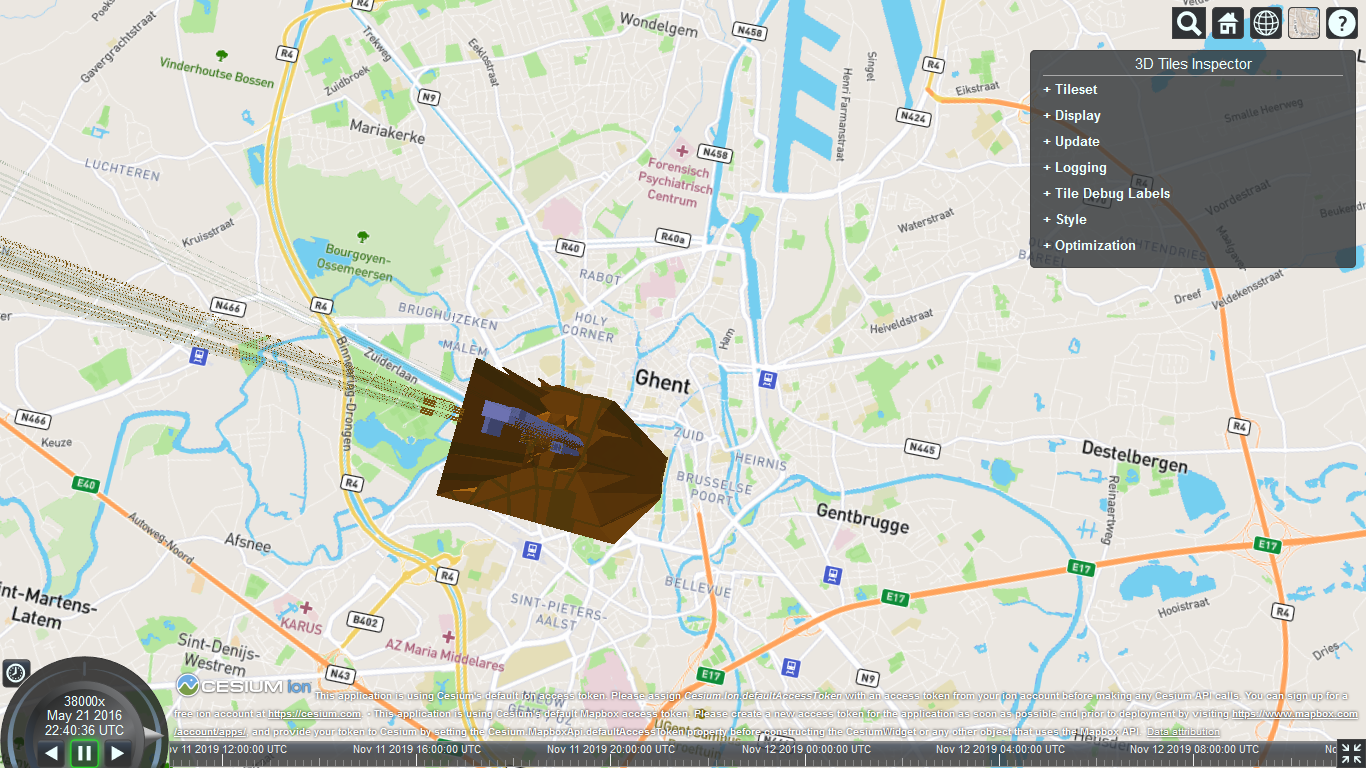
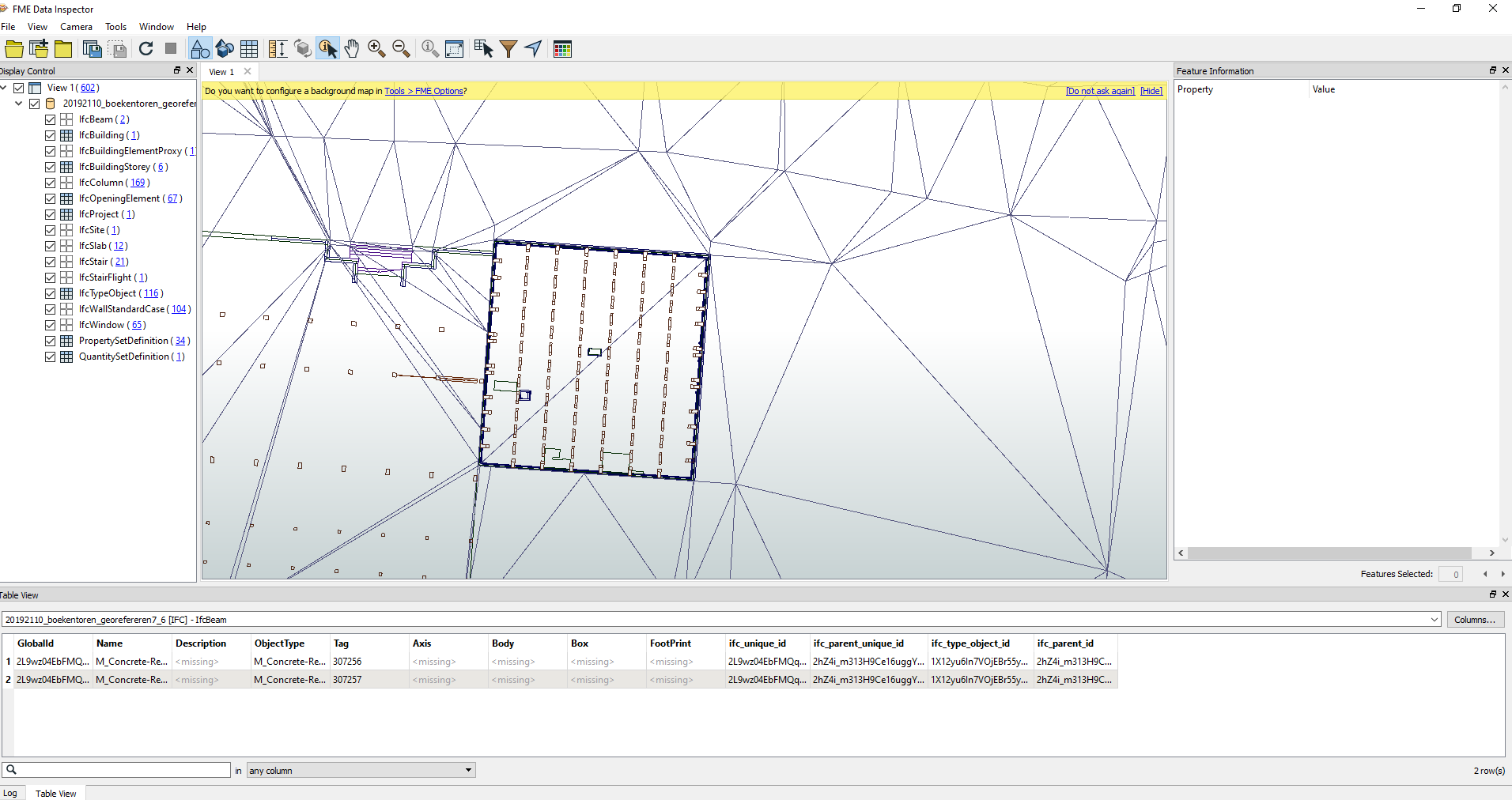
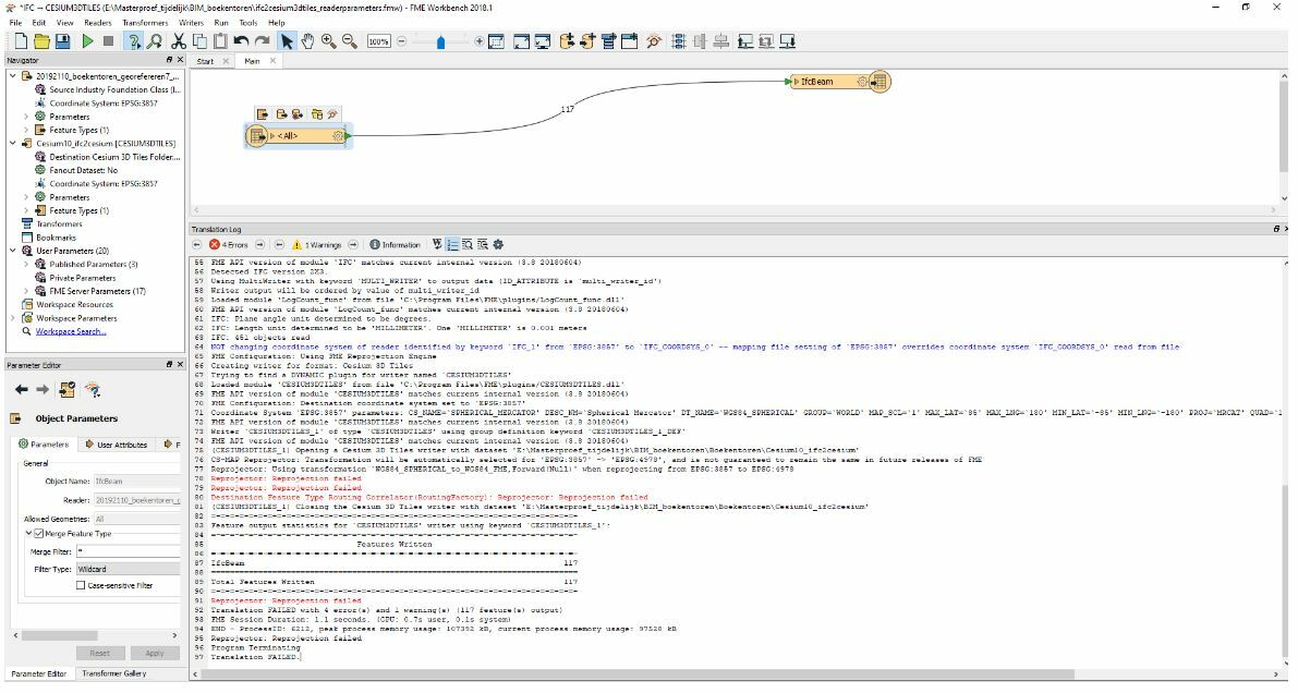
I have a BIM (revit file) that i would like to transform to Cesium3Dtiles. I used the "Revit Geolocation" Tutorial of @daveatsafe and exported the model into IFC. When I look in the FME Data Inspector the IFC file looks fine (I think). But when I add a Cesium3Dtiles writer I get an reprojection error. The coordinate system of the IFC file is EPSG:3857 and the coordinate system of the Cesium3Dtiles schould also be EPSG:3857. So I don't understand why there is a problem with the reprojector.

icon

Best answer by daveatsafe 5 November 2019, 18:51

View original

8 replies

Userlevel 2
Badge +17

Hi @joliedegeyter,

Cesium files are stored in a geocentric coordinate system, so most datasets will be reprojected when written to this format.

Features are read from the regular IFC reader with a very complex geometry that cannot always be reprojected without modification. Please try using the IFC with Data Views reader, with the Elements with Hierarchy view, in order to simplify the geometry into a Cesium compatible form.

Hi @daveatsafe,

Thank you for your reply! The transmission was succesful. But when I load my data into cesium I only see some white dots around 0,0 (see red circle). So I guess I do something wrong in revit with the geolocation or maby with the IFC exporter? Do you have some ideas?

Userlevel 2
Badge +17

Hi @joliedegeyter,

From those results, it would appear that the IFC file does not have a Survey Point in the EPSG:3857 coordinate system. Please remove the coordinate system from the IFC reader, so that it will automatically calculate the appropriate coordinate system from the IFC file's reference latitude and longitude.

Hi @daveatsafe,

Thank you, that helped a lot. Now I have an output at the right location, but the shape of my building is rather strange. Below are images of the source data in revit and the output in cesium. The scale and heigt should be adjusted, but some elements are distorted.

Userlevel 2
Badge +17

Hi @daveatsafe,

Thank you, that helped a lot. Now I have an output at the right location, but the shape of my building is rather strange. Below are images of the source data in revit and the output in cesium. The scale and heigt should be adjusted, but some elements are distorted.

Hi @jdgvm,

The distortion may go away after you fix the scale/height issues. Cesium appears to present a perspective view, and a very large vertical distance can cause horizontal display issues in a perspective view.

If the the problem does not resolve with the adjusted scale, we may need to look at your IFC file. If you don't want to post it publicly, you can send it directly to me at .


Hi @daveatsafe,

Thank you for your reply! The transmission was succesful. But when I load my data into cesium I only see some white dots around 0,0 (see red circle). So I guess I do something wrong in revit with the geolocation or maby with the IFC exporter? Do you have some ideas?

I encountered the same problem, except that I was using a .rvt file

hello everyone, have you solved the survey point position,  the FME coordinate system and convertion to 3D Tiles? can I ask you how?
Userlevel 1
Badge +11
hello everyone, have you solved the survey point position,  the FME coordinate system and convertion to 3D Tiles? can I ask you how?

Hi @giuliaspiridigl,

Are you also converting from IFC to Cesium and have you tried the suggestions in this thread, such as using the IFC With Data Views reader rather than the IFC (STEP) reader? If these suggestions are not working for you, I'd recommend posting a new question to the Forums for better visibility with some more details on your specific issue. Thanks!

- Jovita

Reply