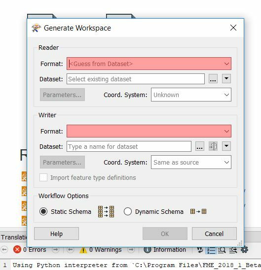
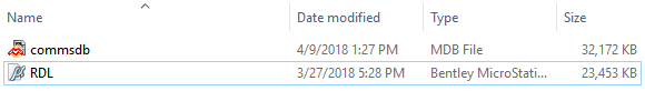
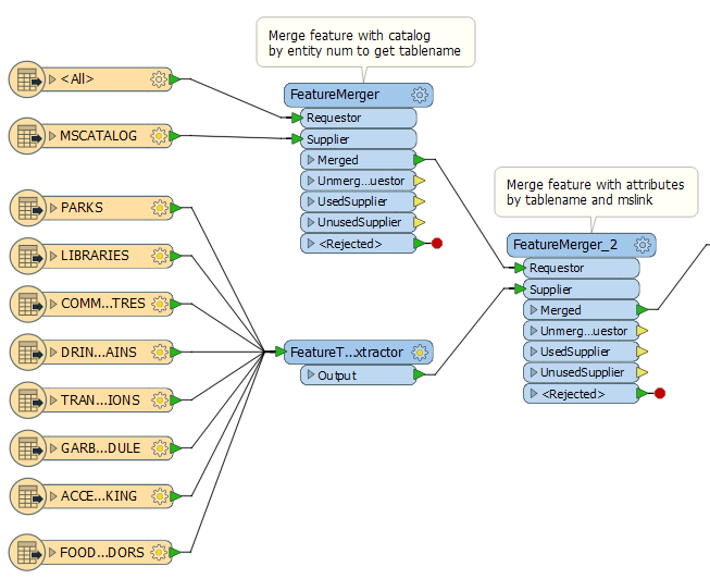
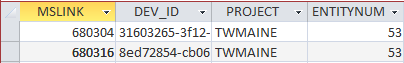
I am trying to convert hundreds of Bentley Microstation RDL files to either shapefiles or a file geodatabase but have only been able to convert geometries and no useful attributes. All the RDL files have accompanying MDB files, which I believe hold the attributes. How do you complete the conversion while maintaining the attributes?
Thank you!